guatemala

Antigua (2026)

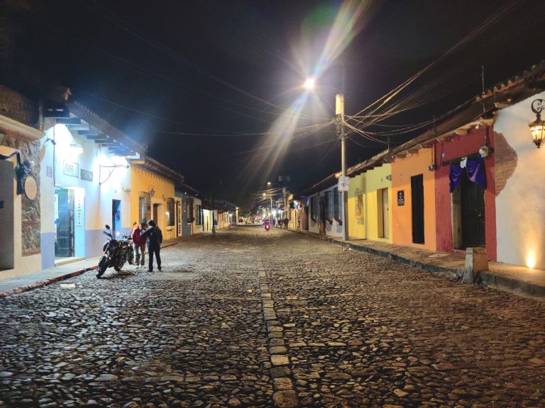
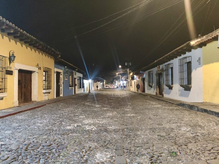
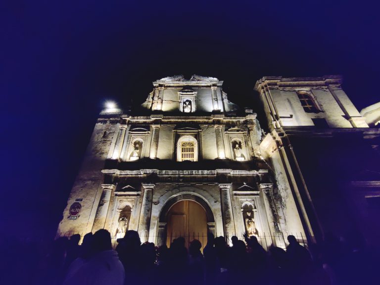
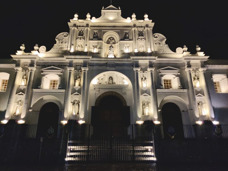
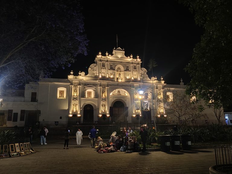
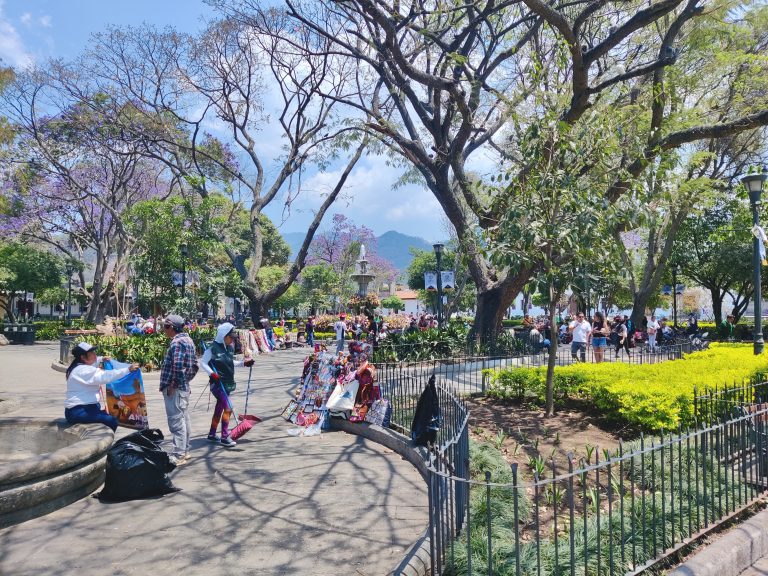
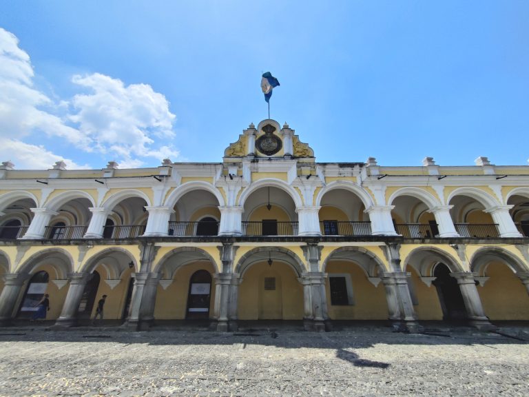
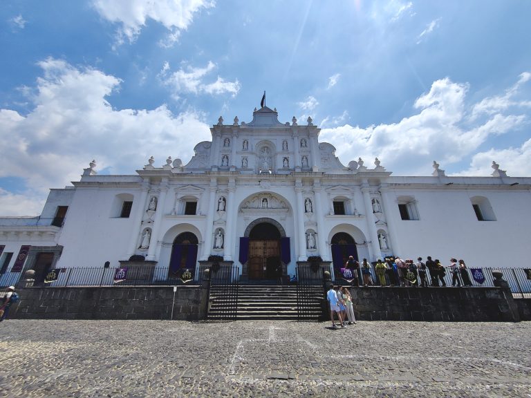
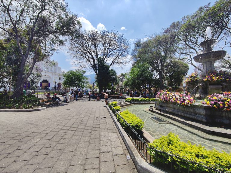
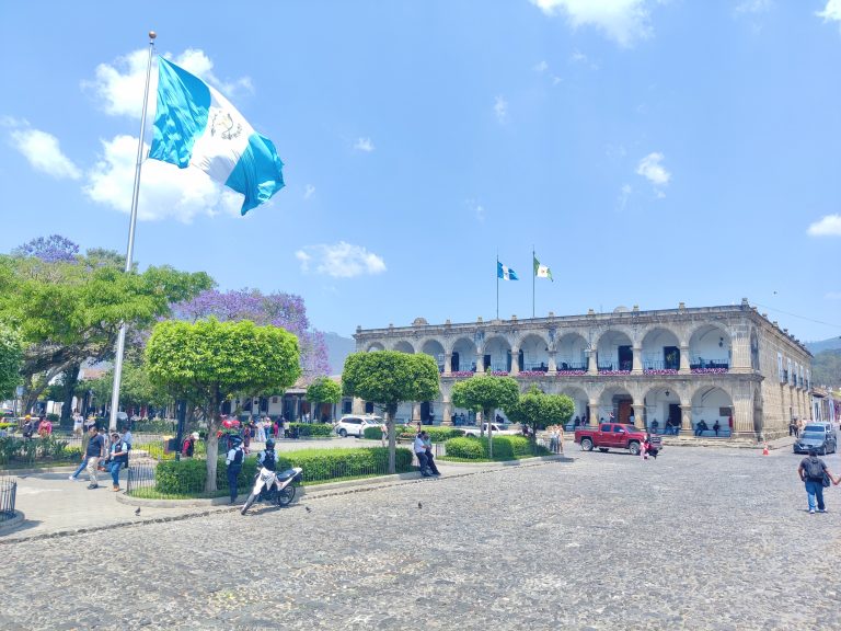
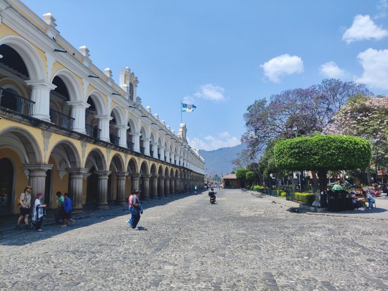
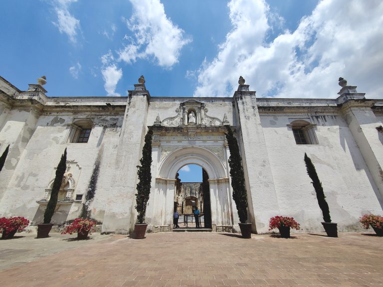
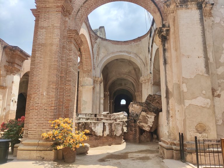
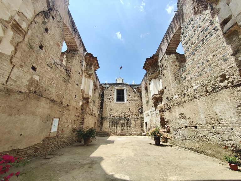
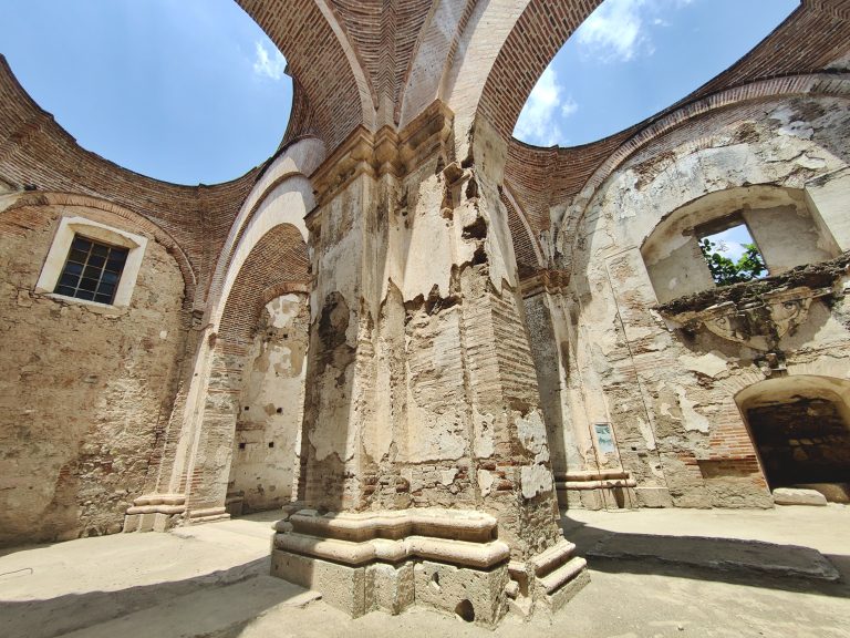
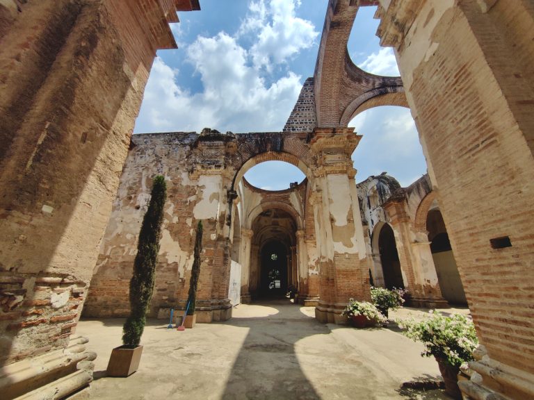
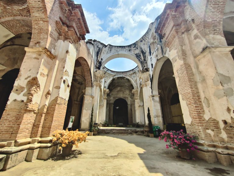
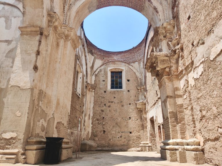
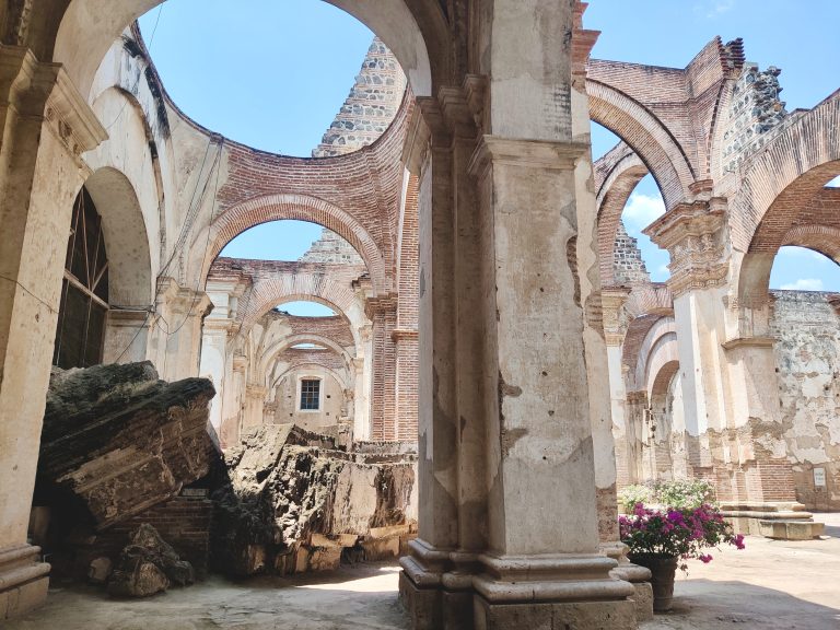
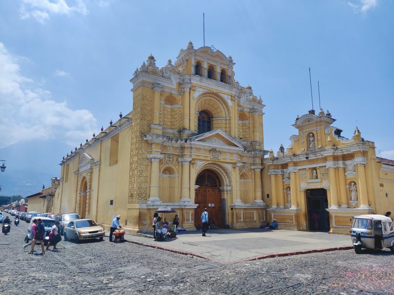
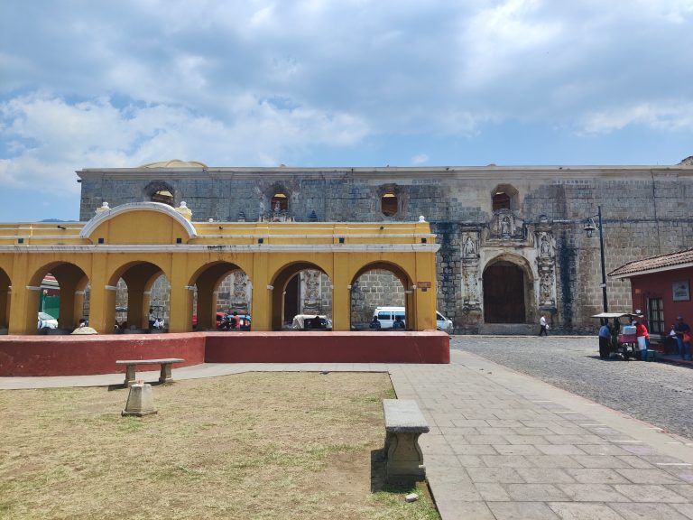
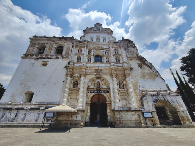
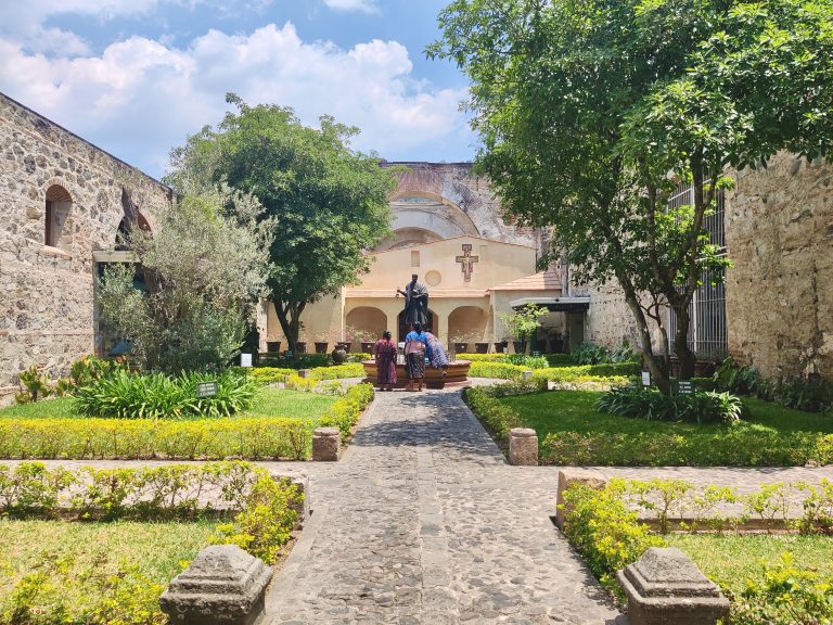
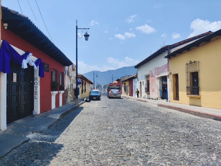
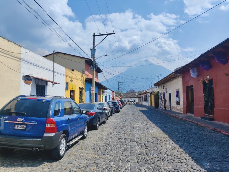
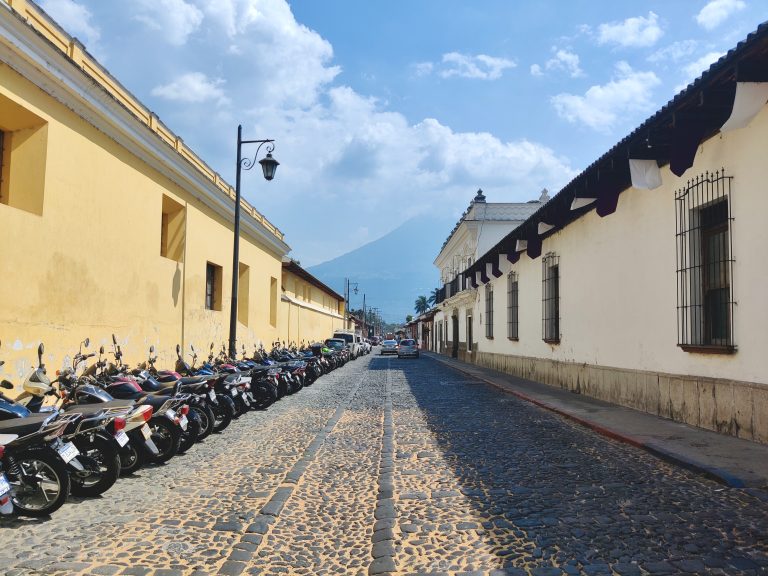
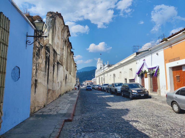
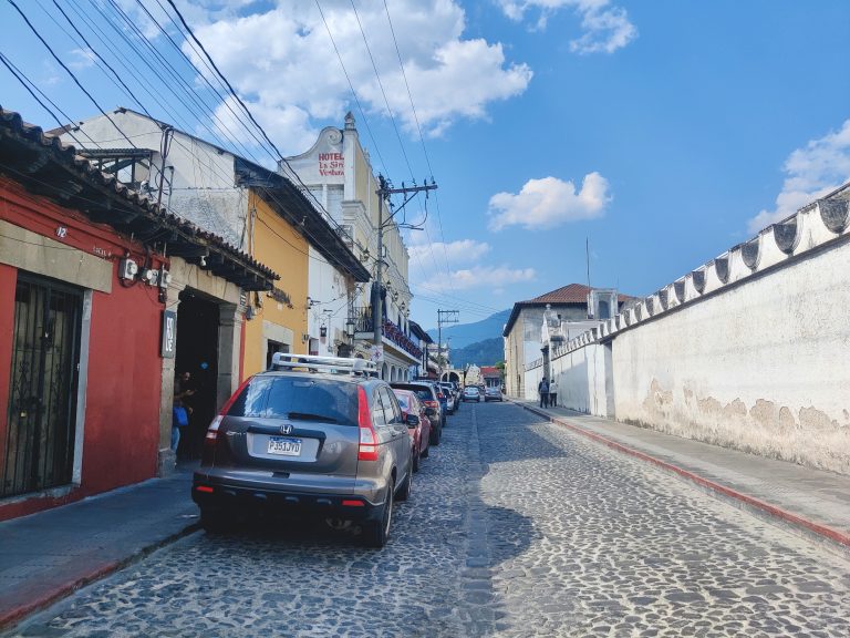
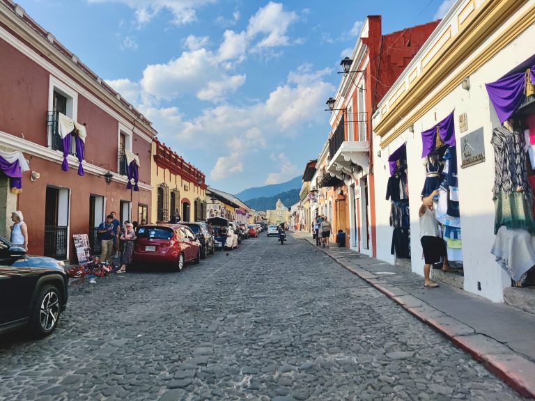
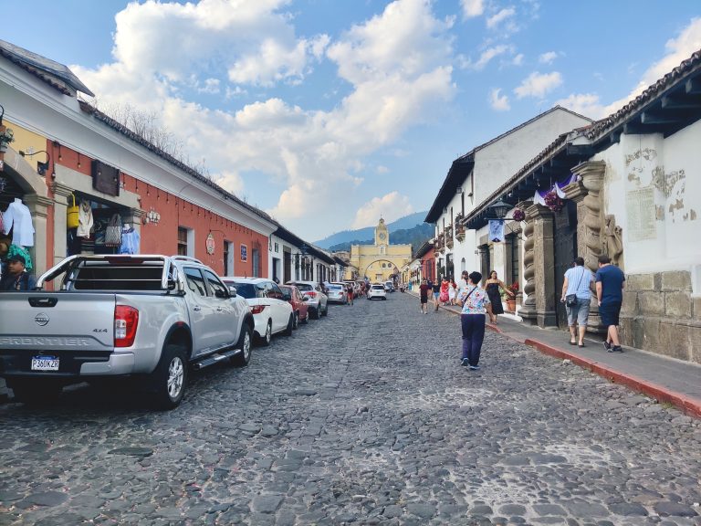
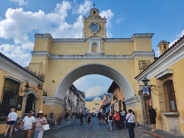
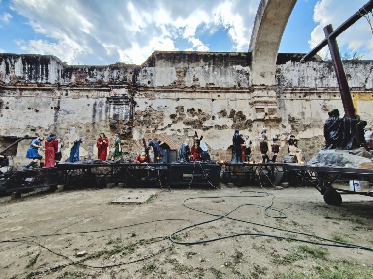
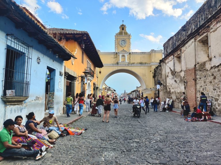
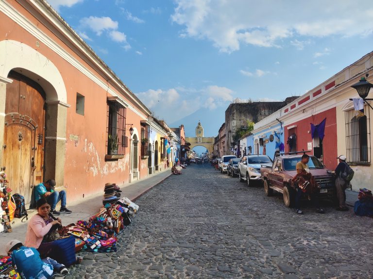
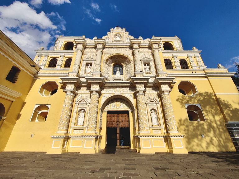
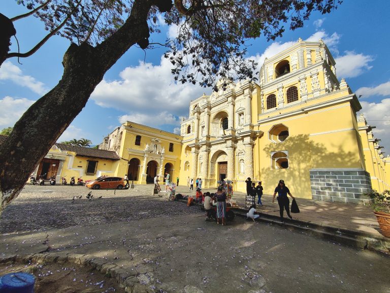
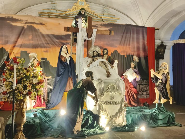
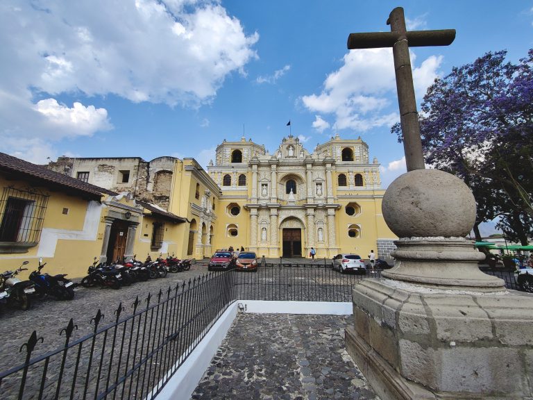
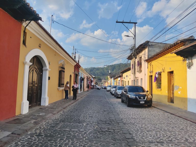
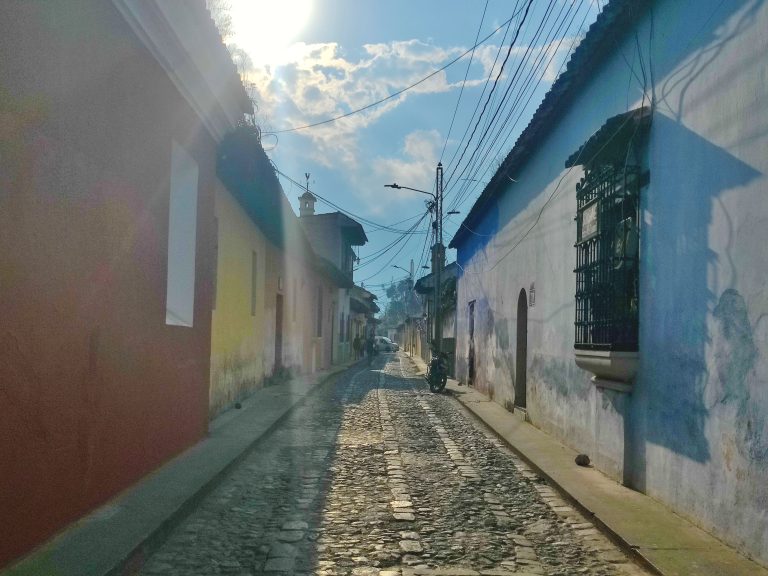
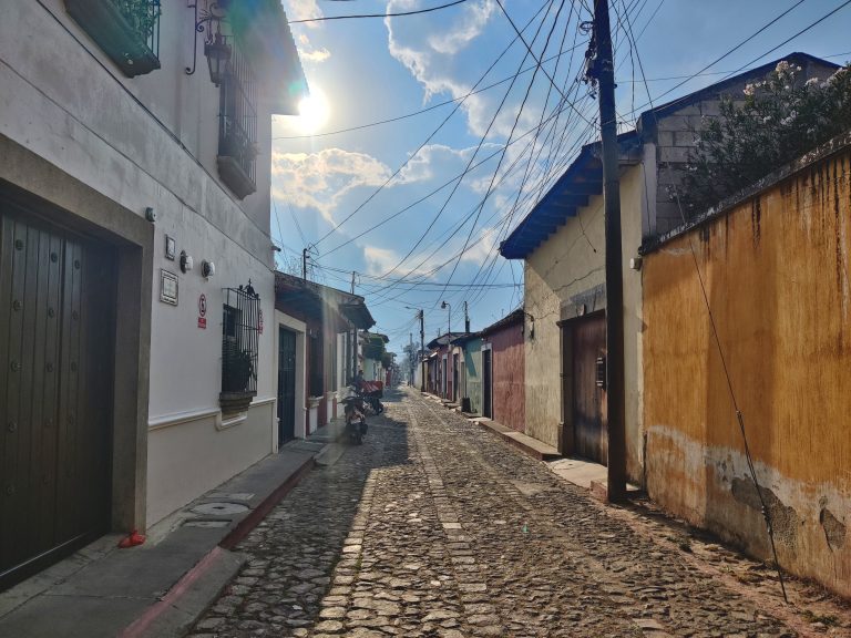
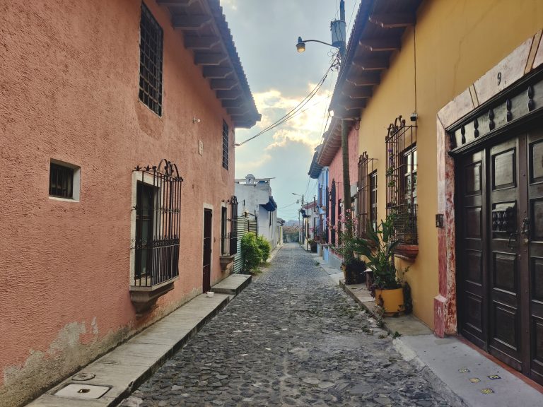
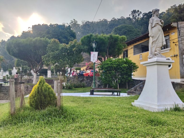
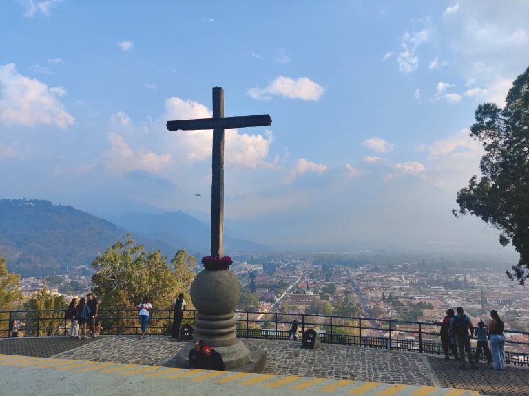
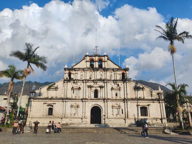
After one heck of a shuttle ride - almost ten hours traversing the entire length of El Salvador before crossing into Guatemala - I made it safely into Antigua and beelined straight for food. Antigua's streets were actually heaving with activity at this point due to the Semana Santa processions which take place every Sunday during Lent. The entire historical centre is cordoned off, and different streets are blocked off at different times depending on where the procession's meandering. This one, obviously, wasn't in the procession's path at that point! Capilla del Colegio Santa Familia, where you can definitely see a little of the crowd. San José Cathedral, the city's main one, dating back several hundred years. Another glimpse of San José Cathedral in Parque Central by night. Gobsmacked that I didn't take any photos of the Easter processions, but I think there's a brief glimpse on my IG Story highlights somewhere... I really was too exhausted to deal with crowds/religion at this point, which I now regret! Here's Parque Central again the next morning. The vibrant focal point of the city's historic core. wiki: "The Captain General Palace, or Palacio de los Capitanes Generales, is a large building localed in the Central Square of Antigua Guatemala. It serves as the headquarters of the Guatemala Institute of Tourism, the Antigua Tourism Association, National Police and the Sacatepquez Department government. It also houses the National Museum of Guatemalan Art." San José Cathedral by day! Antigua really is a wonderfully picturesque city, and its Central Square is def worthy of it. More from the Central Square. Historic architecture and national pride intersect at a place brimming with smiling locals and tourists alike. We love to see it. One more view from Parque Central! Ruinas de La Antigua Catedral Metropolitana de Santiago de Los Caballeros de Guatemala. A bit of a mouthful, eh. I'll say this: these ruins may well have been my fave sight in all Antigua. This massive cathedral complex dates back to the 18thC, but unfortunately got destroyed by earthquakes over the years. I say 'unfortunately' got destroyed, but honestly, these ruins are stunning unto themselves. So glad they've been preserved. I may have gone a bit overboard with pics at these ruins, so bear with me for a bit. It really is stungorge tho, no? And the white dove flying in the background there makes this perfect. Genuinely explored every little nook and cranny of this complex. Too beautiful not to. One last pic from (breathe) Ruinas de La Antigua Catedral Metropolitana de Santiago de Los Caballeros de Guatemala. Wondrous. Iglesia de San Pedro Apóstol, which dates back to the 16thC. Baroque colonial facades are everywhere here. No wonder the entire historic centre is a UNESCO World Heritage Site. Outstanding beauty wherever you turn. Tanque de La Unión - a gathering place for people to wash their clothes back in the colonial era! Iglesia San Francisco el Grande, dating back to the 16thC! Part of the monastery (?) grounds next to Iglesia San Francisco el Grande. These women seemed incredibly pious and I felt a bit inappropriate catching them, but they weren't going anywhere soon and I was suffering in the heat + lack of shade! A brief series on Antigua's cobblestone charm: exhibit one. Exhibit two. Exhibit three. Note the constant presence of volcanoes in the background. Exhibit four. Note the splashes of purple, which were prominent all over the city (due to Easter/Lent). Exhibit five. Exhibit six. Now in the heart of touristville (note what's in the background). Getting closer to arguably Antigua's most iconic landmark. And here it is. Santa Catalina Arch. Wiki: ' Built in the 17th century, it originally connected the Santa Catalina convent to a school, allowing the cloistered nuns to pass from one building to the other without going out on the street. A clock on top was added in the era of the Central American Federation, in the 1830s." I failed to take photos of Sunday night's Santa Semana processions, but I *did* manage to stumble upon the location where all the statues and icons are stored away when not in use! Right next to Santa Catalina Arch. Santa Catalina Arch is very pretty, but it would be much prettier without all the tourists. Love this shot which captures arch, volcano, and (inadvertently) locals street sellers too. Iglesia de la Merced. Feels like every city in Central America has one of these! Views outside La Merced. Just outside the church there's a bunch of street food vendors, and the nearby square turns into a hive of activity after 5pm when locals head there for cheap eats and chats! Really cool vibes. I didn't take too many pics of church/cathedral interiors in Central America, but this outlandish display was jarring enough to catch my eye in La Merced... Iconic shot outside La Merced. More gorgeous city streets. Wandering around the peripheries of the historic core at this point. The vibe begins to change around here. Transitions from touristic to a little more authentic. Quieter, greater local presence (not that that's really visible in my pics). Here's an example of a residential hood I passed through. Still gorgeous, but designed for living in rather than visiting. On my way up to Cerro de la Cruz. And here it is: Cerro de la Cruz, the most popular park and lookout point in the city. The spectacular vistas that I was promised didn't quite materialise in the late afternoon haze (blocking out the volcanoes which would undoubtedly improve the image), but it was nice to be somewhere more local.

After this - a full day of hardcore touristing - I headed back to the downtown to get some supplies for my upcoming hike, a solid meal, and an early night before the next day's epic adventure.

Acatenango (2026)

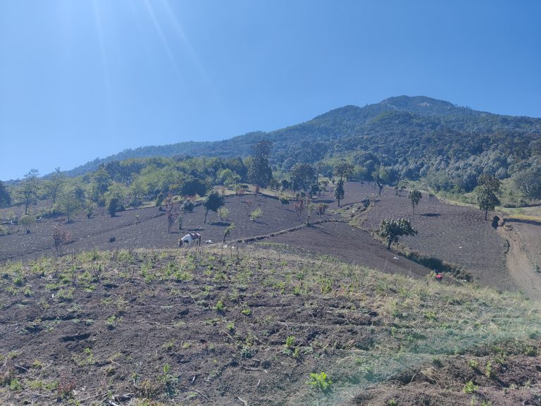
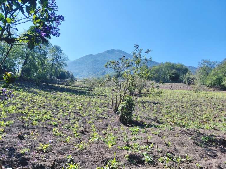
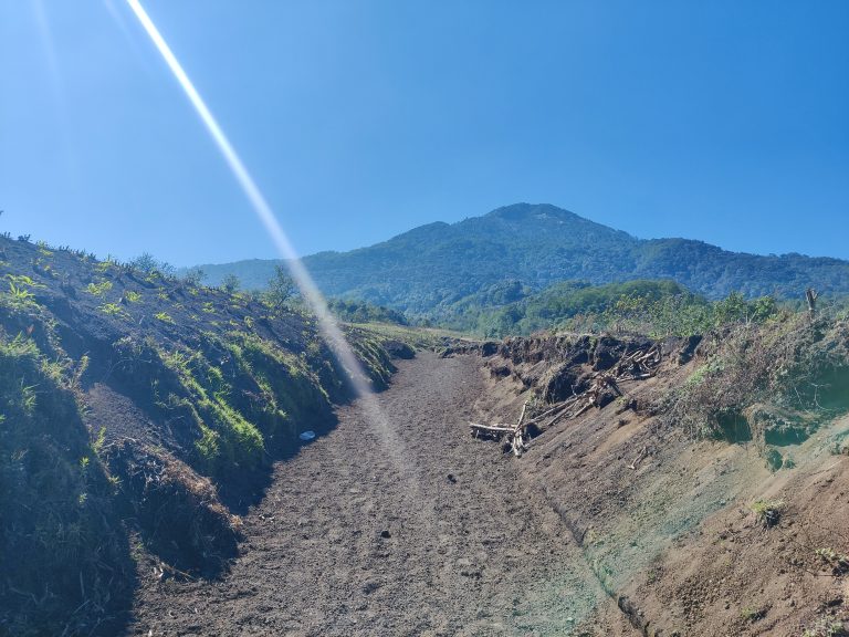
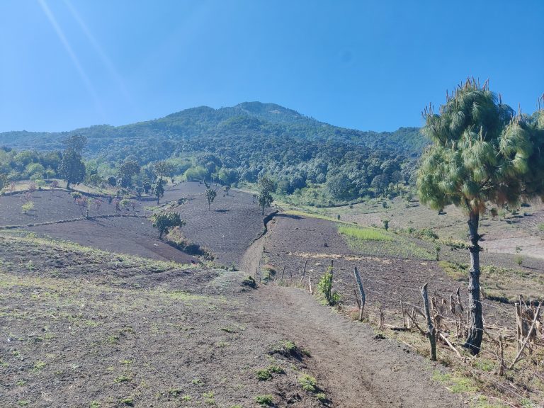
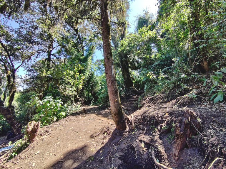
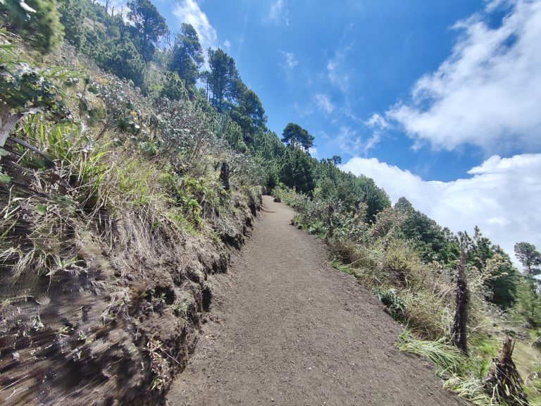
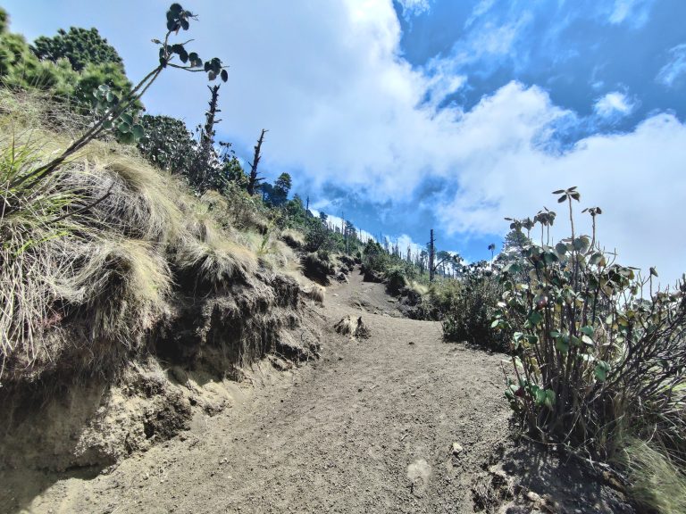
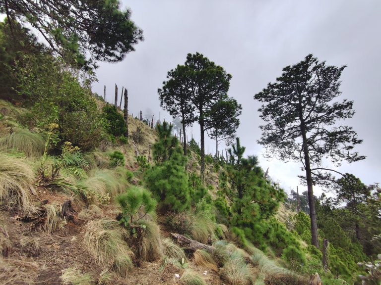
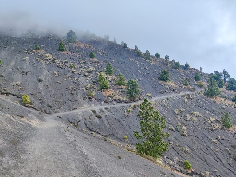
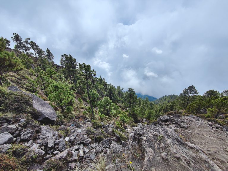
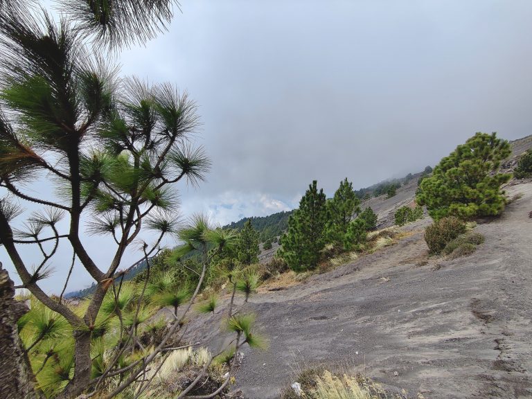
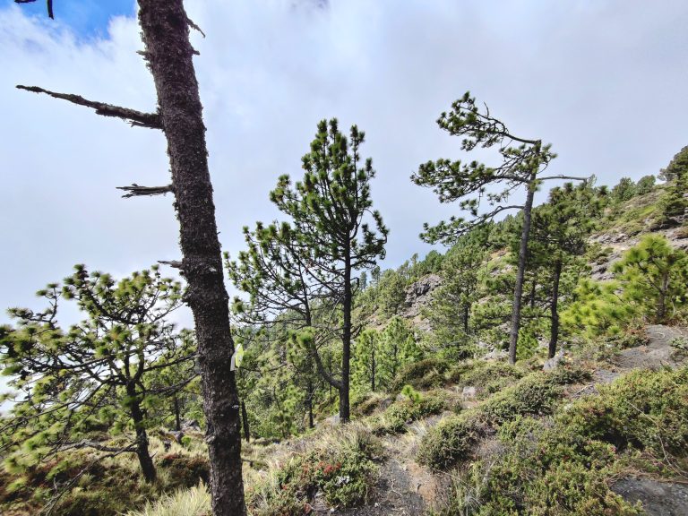
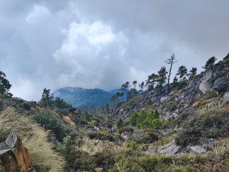
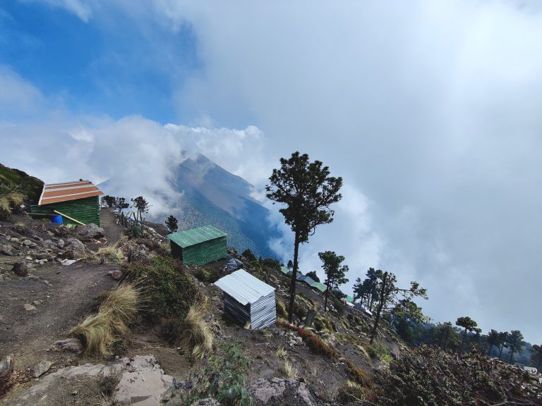
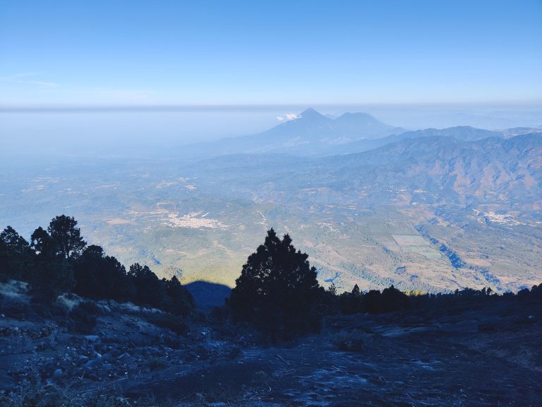
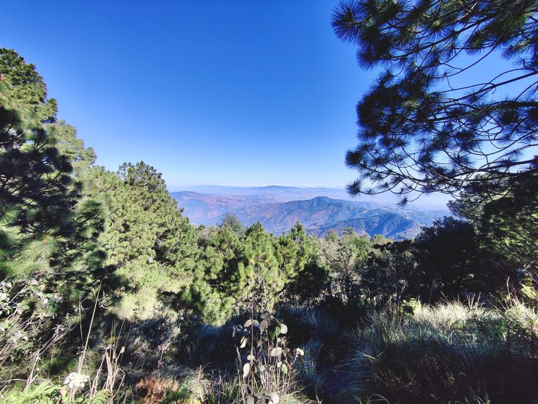
As much as I loved Antigua, the real reason why I was in this region was Acatenango. Possibly the most renowned volcano hike in the world, it requires a guide (if you wish to overnight at a camp), and tour operators sell out fast during peak season. I was lucky to find a last-minute spot with a solid company, and the next morning I was up at something like 6am to get to the group meeting point at Parque Central. We were driven to La Soledad where the hike begins and where our tour operator's HQ is. After a very solid vegan breakfast and the option to rent some hiking gear (seems I turned up much better prepared than others in the group, much to the detriment of my backpack!), we finally began hiking at around 9:30am. The early part of the trail takes you through what seems to be farmland. This early stage is the steepest and often seen as the most difficult: this volcanic gravel that you can see here makes you feel like you're trudging through quicksand or sth. Many members of our 15-person group were already struggling here, including the three college athletes who had never attempted anything like this before. Things got so severe that we actually lost one of our party around here due to sickness (she turned back and returned to HQ with a descending group). That first section is tough (tho admittedly I was flying), but the guides will take you SLOWLY. Like, they'll stop every 20 minutes or so, which I found incredibly frustrating. But I'm also a firm believer in looking after the most vulnerable, so I applaud our guides for doing a good job of looking out for everybody. If you can survive the early shock to the system, the trail eventually becomes a little less steep and starts winding through cloud forest, thereby offering some much-needed shade! Another thing to note is that you *don't* need to be as prepared with supplies as people make out. There are multiple rest stops along the trail where snacks and drinks are sold. I'm not much of a snacker anyway, but other members of the group found these supplies hella useful. The vegetation eventually changes again... ...and again! It's a thrill going through all these different micro-climates. This must've been about three or four hours in? Getting closer to base camp, but simultaneously wondering if this was a different planet or sth. The beauty of mountains. Note that the trail had flattened out quite considerably by this point, which was a welcome respite. The final section of the hike up to base camp will lead you through some spectacular pine forests. And things get pretty steep again! Not sure if this image really captures the gradient. On a less cloudy day, I believe there are incredible views of surrounding volcanoes from here. We did not have such luck, however... It was nice to be up by the treeline tho. By this point, we were very close to base camp. Here's our camp! Was a bit of a steep incline through volcanic scree, but we had actual cabins (as opposed to other camps which are basically just tents), a 'toilet' (sheltered hole in the ground), and a delicious warm lunch waiting for us. Due to the cloud cover that afternoon, the group + guides had collectively decided that it wouldn't be worth venturing up to Fuego that day, and that instead of summiting Acatenango the next morning, we'd trek up to Fuego for the lava flows instead. With that in mind, I dozed off for an hour-long nap right after lunch, as the consecutive early starts had finally caught up with me.

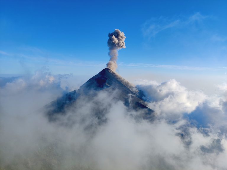
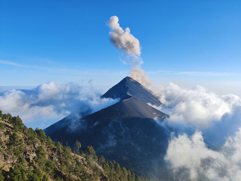
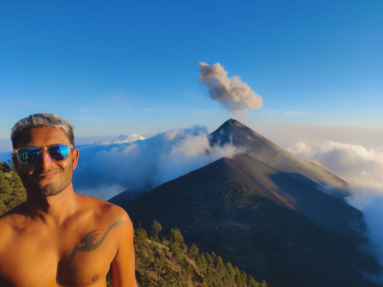
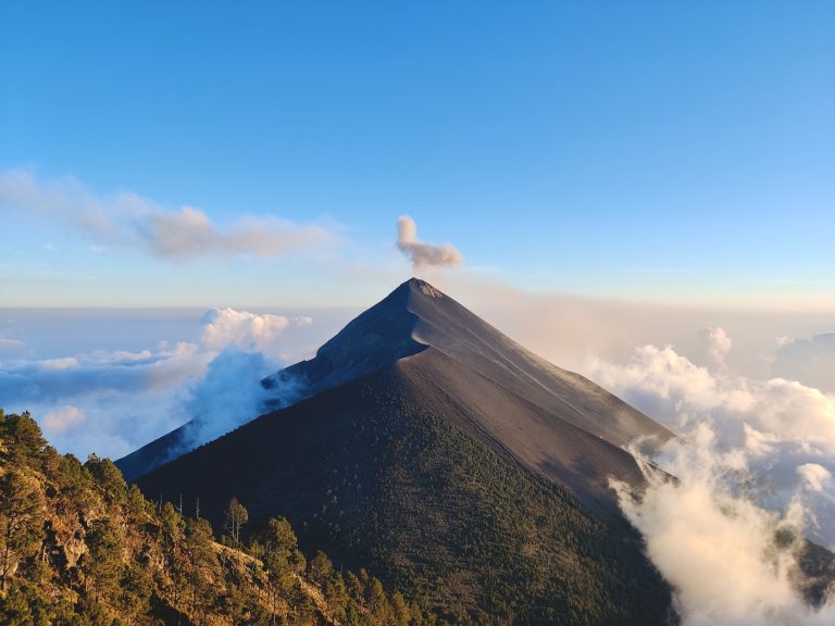
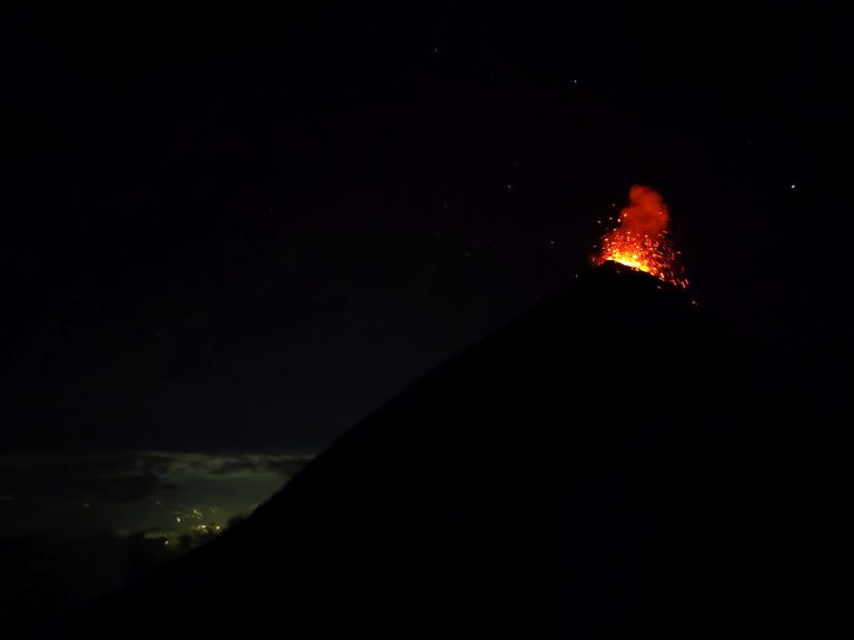
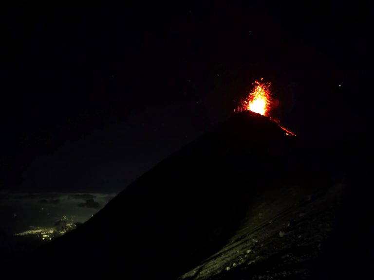
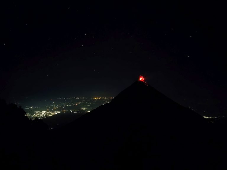
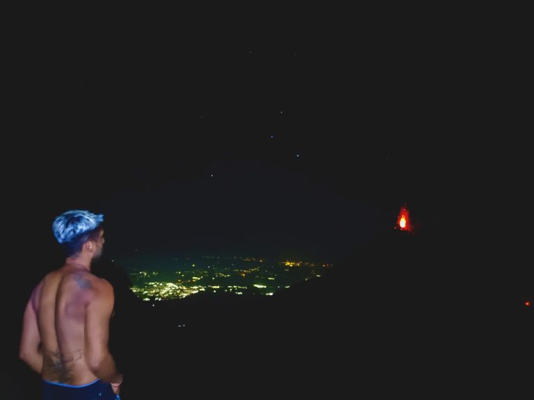
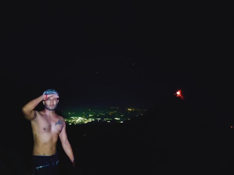
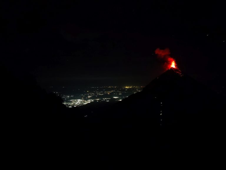
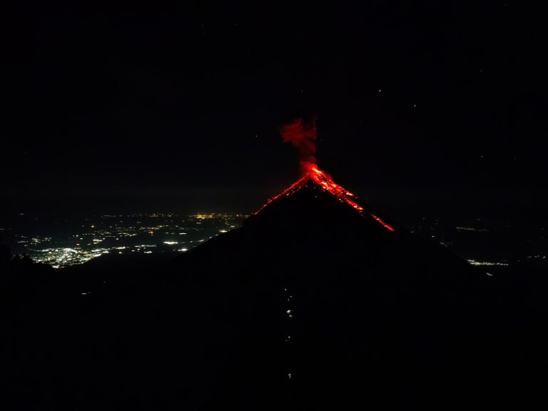
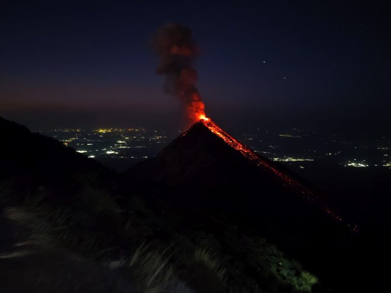
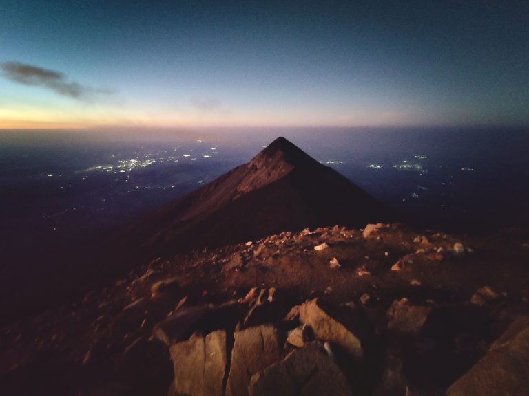
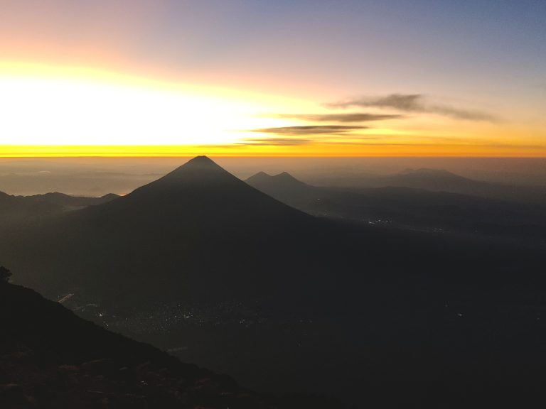
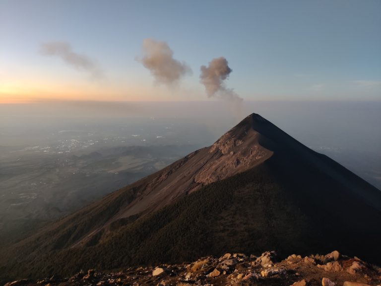
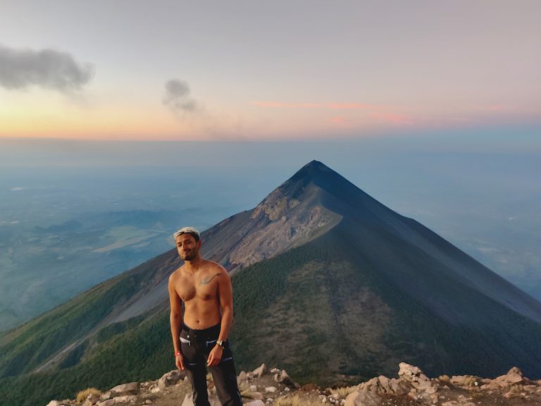
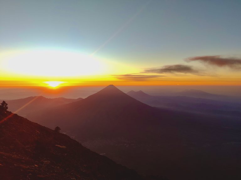
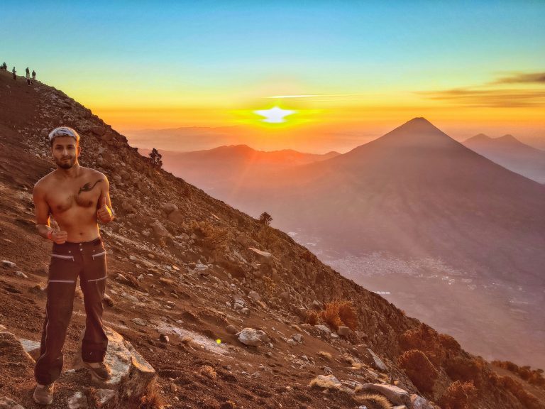
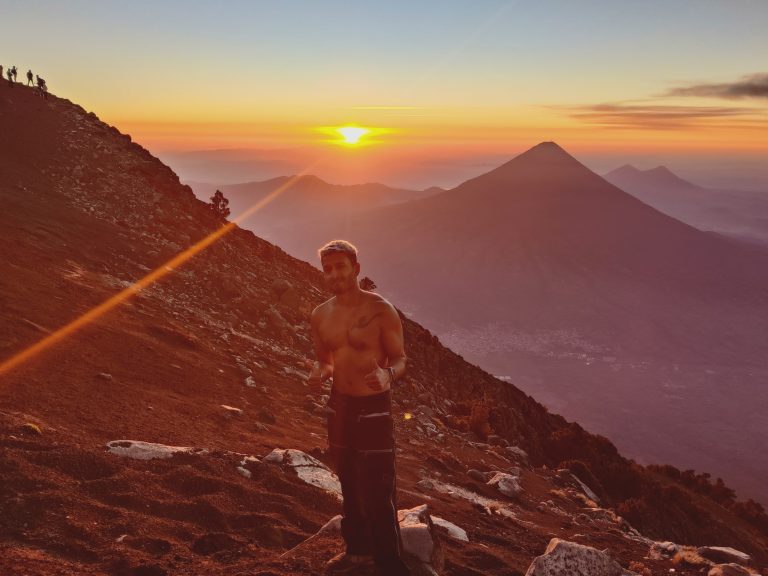
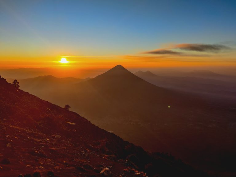
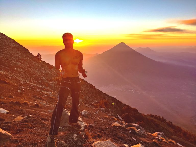
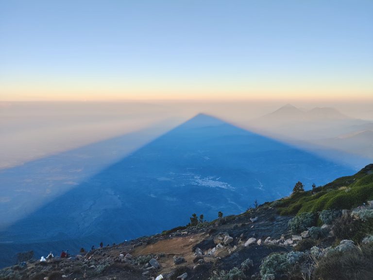
But I woke up to a helluva commotion - the clouds were finally beginning to part, thereby giving us what we'd all sought: FUEGO! This is called the 'Acatenango' hike because that's ultimately what you summit and sleep on. But the real reason why people come here is to get the once-in-a-lifetime views of neighbouring Fuego - one of the most active volcanoes on the planet, ejecting plumes of smoke, ash, and lava into the air every twenty minutes or so. It's a jawdropping thing to behold. Your own personal pyrotechnical show. Couldn't miss an opp for a pic, natch. There is no such thing as too many pics of Fuego, fyi. The parting clouds had caused our group+guides to recalibrate: a small minority were adamant about hiking up to Fuego that evening instead of the next morning. I wasn't privy to the discussions (my cabin was at a higher elevation than the others' so I missed out on a lot of the group chat), but I eventually realised that a small party of four was leaving with a guide. Unable to resist the temptation of yet another hike, I rushed after them and eventually caught up. This part of the hike was a little poorly-organised tbf, though the last-minute change of plans were instigated by people in the group rather than the guides. We set out for Fuego much later than everybody else, around 6:30pm iirc, so we spent most of this hike in the dark. It's FAR more challenging than the initial base camp ascent (steep inclines and declines, scree that compounds the challenge). You first descend Acatenango and then ascend Fuego, where the foot traffic at this point was insane (most groups were hours ahead of us, so were leaving as we were arriving). Cue unnecesarily long wait times in the freezing cold and the dark. But eventually, you're rewarded with this scene. I apologise for my shitty OnePlus 9R which desperately needs to be upgraded. We saw some cool eruptions while at Fuego, but I wasn't really able to capture the grandeur of any of them. Still, it was incredible to be so close to such a majestic scene, and to have it mostly to ourselves. The return to base camp was the most challenging part of the entire trek for me. Descending Fuego only to then re-ascend Acatenango is a challenge as psychological as it is physical. Esp knowing that everyone else in our tour group had long since had dinner and gone to bed by this stage. We didn't return to base camp until after 10pm (we'd stayed at Fuego for a good 45 mins or so). I'd been looking forward to the promised 'soy bolognese' all hike, but sadly we were all served overcooked spaghetti with tomato sauce, which was deflating and unappetising enough for me to leave much of the meal. After that, it was bedtime as we had to be up to summit Acatenango in a mere few hours. But... Couldn't resist a couple more pics with flamin' Fuego before hitting the sack. Not the best or clearest shot, but how often will there I be shirtless on a freezing cold volcano at 11pm with *another* erupting volcano behind me, eh? I slept for only three hours. It took me a while to doze off as I could hear Fuego erupting ever more thunderously during the middle of the night (the eruptions become more lavish with decreasing temps, or so I was told). It was hard to resist going back outside and staring, but it was also so damn cold that I couldn't remove myself from the blankets + sleeping bag I'd burrito'd myself into. This was what greeted me as I began the summit to Acatenango at 4:30am. Part of me really wishes I'd just stayed up all night watching Fuego do its thing. Alas, I'd probably have died during my summit attempt if that were the case. Anyway, this was probably the best capture I got of incredible, incomparable Fuego. What a treat. I'm glad that I completed all three hikes because I'm always here for a fitness test and to prove my continuing aptitude at altitude. But I will say that the Fuego hike may not have been *entirely* worth the physical exertions, given how our views up close paled in comparison to our views from both base camp as well as during the summit attempt the next morning. Finally at the summit of Acatenango; Fuego still visible in front of us; awaiting sunrise. This was the shortest hike of them all, and sheer adrenalin negates the effects of the early start + lack of sleep. Sunrise heading our way... Daylight renders Fuego's lava flows invisible FYI, which is why the preferred choice here is to overnight to witness the spectacle. As sunrise approaches, what was once red, fiery terror becomes (very loud!) puffs of smoke instead. Puffs of smoke are still worth a pic, however. Esp at sunrise when you're up 4000m high. This was a fun opportunity to talk to members of other tour groups about their experiences too. Love the camaraderie on these trails. (After Fuego's eruptions) #thisiswhatyoucamefor A bedraggled mess - had seen no shower or even a sink for 24hrs+ - severely sleep-deprived, and also pretty damn cold while prancing around shirtless. But hey, I'm not sure anyone can summit a volcano at 5:30am and expect to look the part. Was instructed to pose for this shot by another hiker so here it is. There will never be an occasion when sunrise atop a mountain isn't one of the most magical sights in the world. I was told that this shot isn't as strong because it obscures my face, but given the state of my face at this hour, I consider it a keeper even if others disagree. Dem colours doe?!! After the sun had fully risen, it was a race to get off the mountain ahead of all the (many, many) other tour groups heading in exactly the same direction. Traffic jams galore. Luckily, there's some cool scenes to keep you entertained like this awesome volcanic shadow over the surrounding landscape. Got back to base camp and had a decent breakfast, packed bags, and began our descent. Insane to think we had to head back to ground level all the way down there, but going down is always much easier than going up tbh. I even ran/jogged part of the way. One last shot from Acatenango. I wasn't as snap-happy during the descent, for obvious reasons! It was a beautiful experience anyway.

Those of us that had summited Acatenango that morning (seven of us) had met up with those that chose to sleep in at base camp (three) and once we got off Acatenango we had to await the six others that had chosen to head to Fuego for sunrise. Their pics were incredible, but I'm glad I did things the way that I did. This was definitely an experience to add to the scrapbook of 'life highlights'. Gracias, Acatenango!

Lake Atitlán (2026)

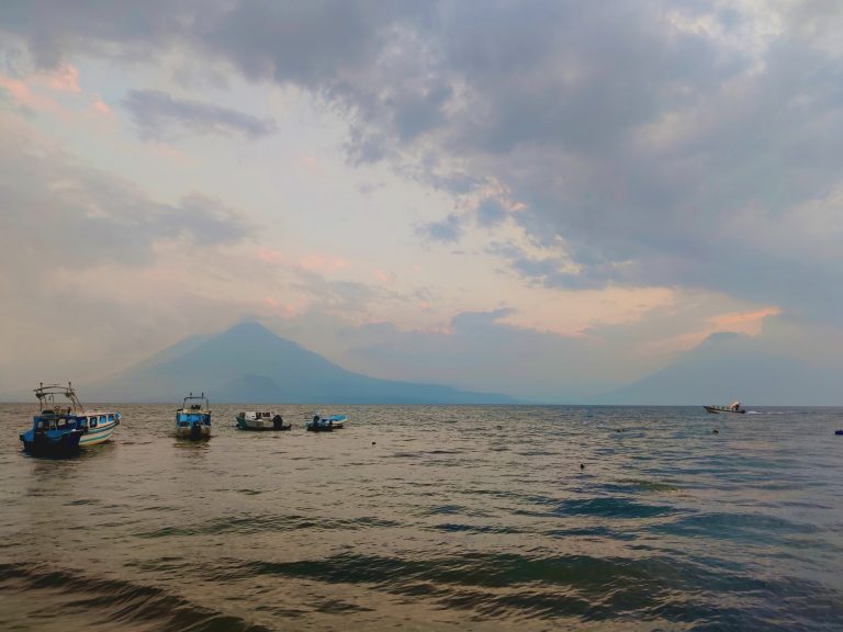
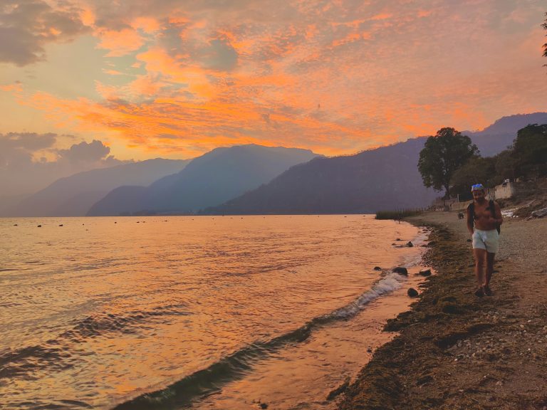
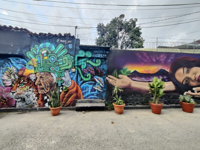
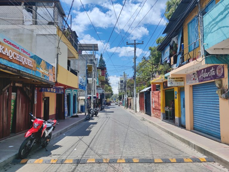
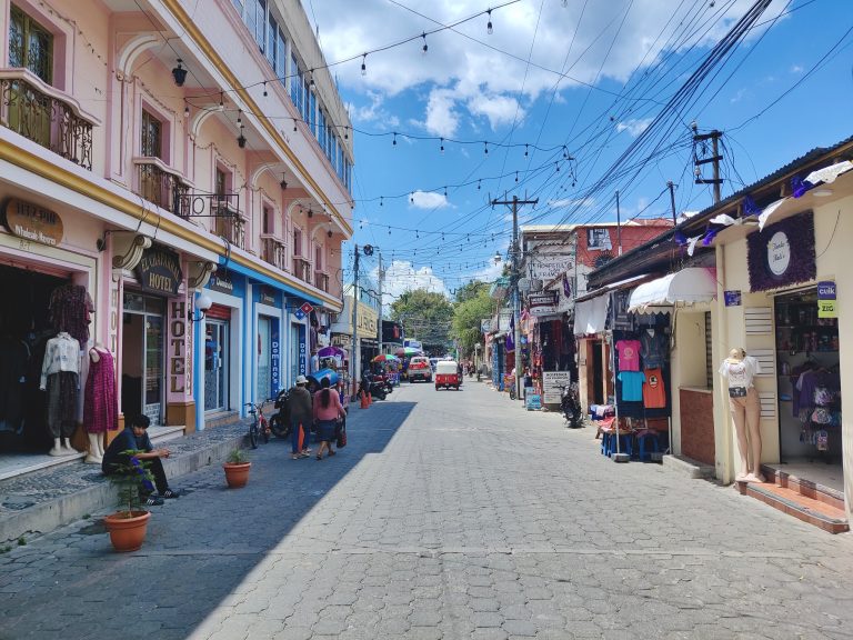
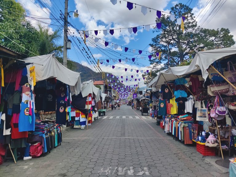
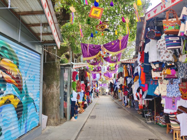
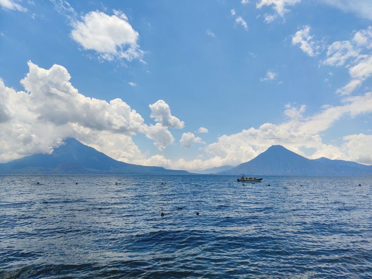
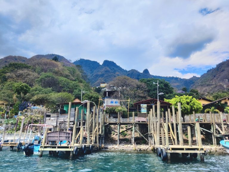
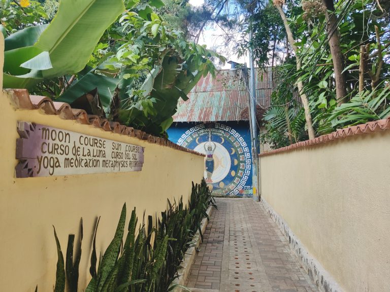
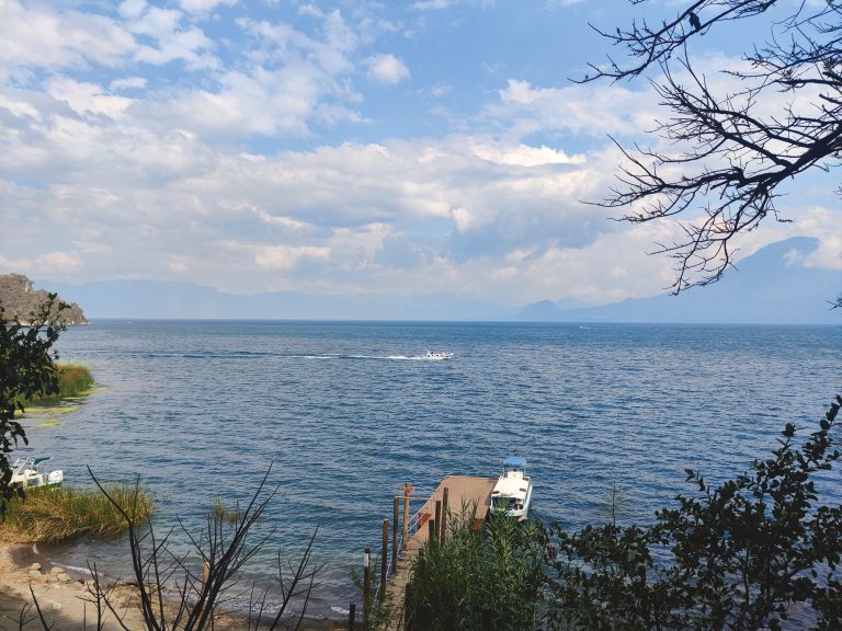
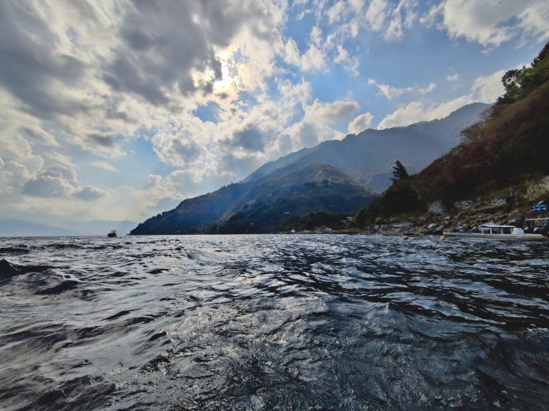
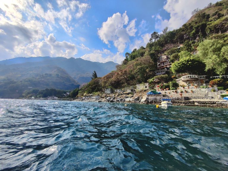
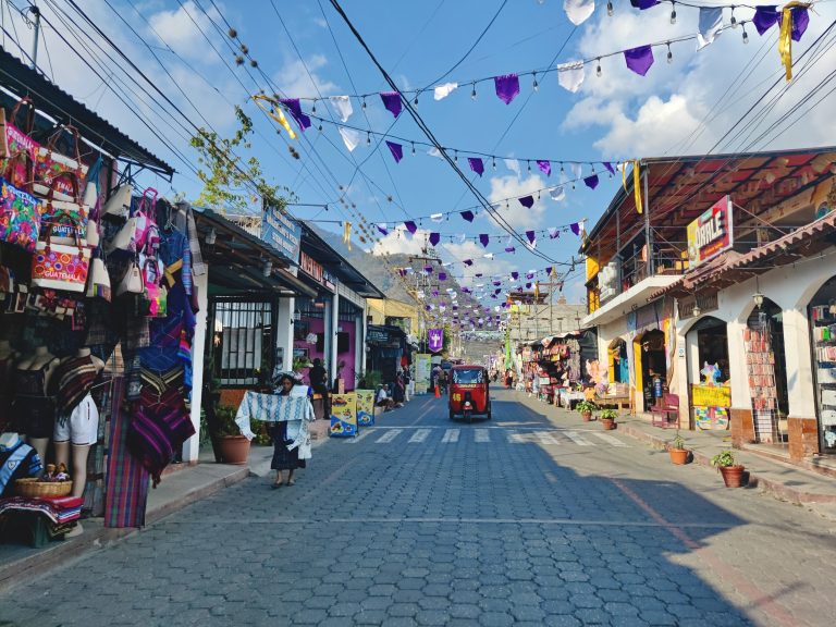
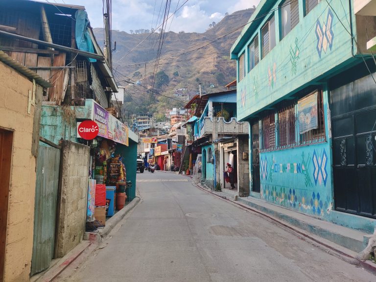
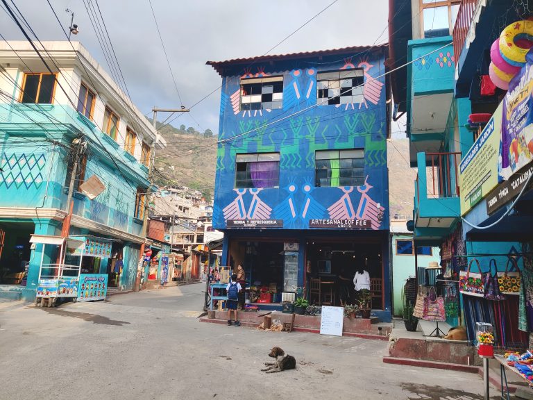
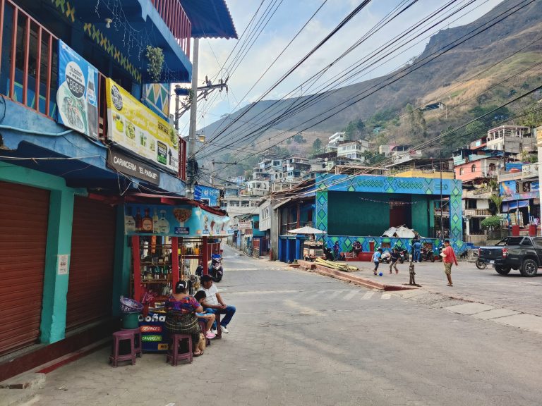
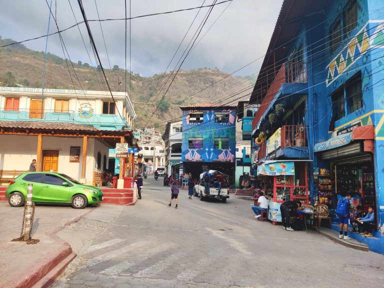
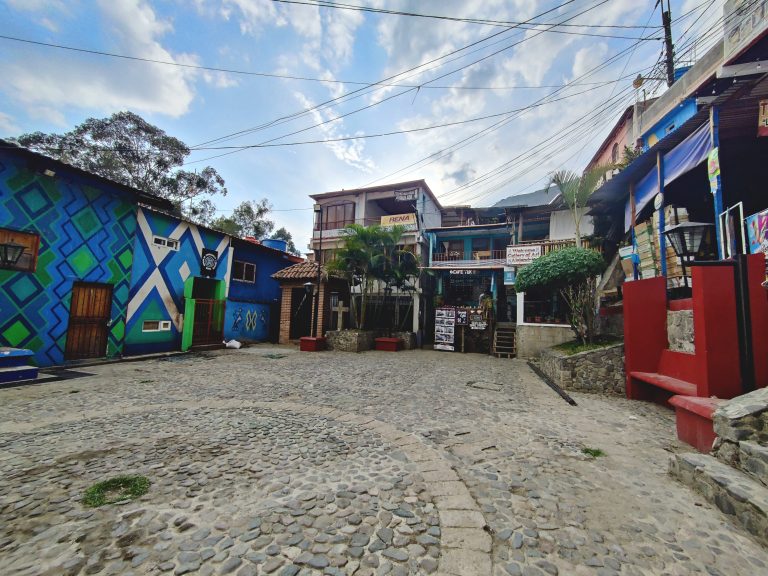
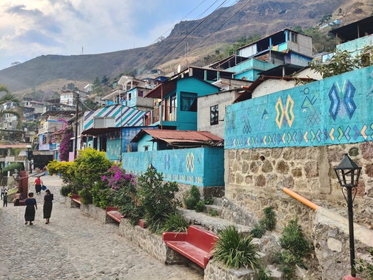
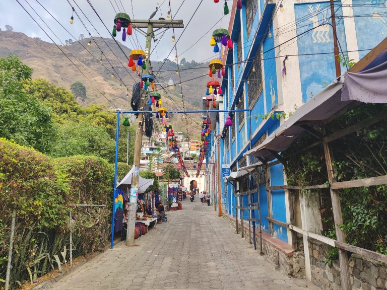
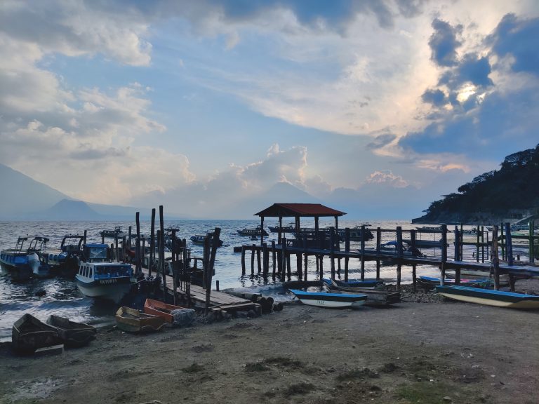
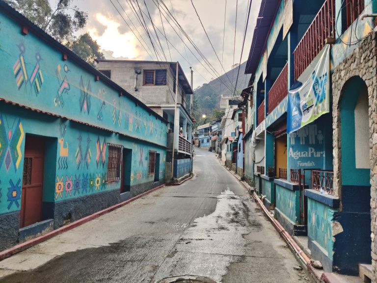
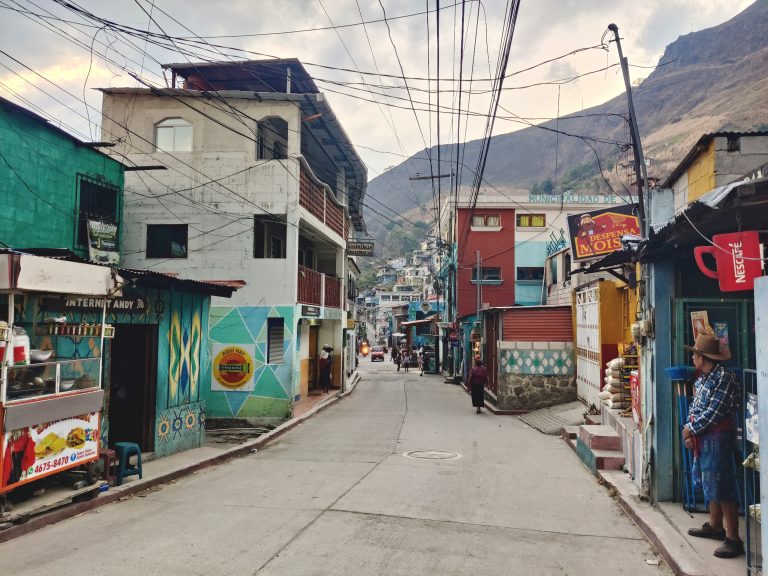
From Acatenango I endured a rough af journey to Lake Atitlán (referenced on the corresponding blog post). I very nearly skipped Atitlán completely due to time/budget constraints, but so many people had raved about it, and when I discovered that my Acatenango tour operator offered a direct shuttle over to Panajachel - the lake's biggest town and main transport hub - it felt like a sign from up above. Sadly, the Acatenango shuttle was a non-starter, and my time at the lake was mostly a very cloudy one, thereby dampening the visuals. There's an iconic image of volcanoes flanking the serene lake which you can kinda sorta make out here but not really. Meh. Did manage to get a colourful sunset shot from a less iconic vantage point, however! I spent my first night here doing some much-needed chilling and enjoying the empty dorm (actually hostel; the entire hostel was one dorm room) that I was staying in. There was a super-friendly, almost dog-like black cat next door who kept me company all night. Next morning, I awoke and made it my mission to sort out my next journey (a very long one, to Flores on the other side of the country) so as to avoid all the drama of the previous day. Snapped some colourful graffiti while I was walking around. There's a very lengthy high street in Panajachel ('Pana') which houses a lot of what's relevant to tourists. Most of the off-streets around it also fully engage in the tourism industry, like so. It's a cute little downtown, never really feels unsafe. Having said that, I was staying directly on the main street and didn't wander as much as I could have. Things got very quiet even a couple of blocks over, so I lost interest and turned back to these scenes of activity. I vaguely recall reading/hearing that Pana was the best place in Guatemala to buy... well, *anything*, but especially souvenirs? Speaking of, I now recall how, after disembarking from my awful shuttle the previous day, the first person I encountered was an elderly gringo, high as a kite on his bike, who stopped as he passed and uttered "this place has the BEST weed!" before riding off into the distance. Fun! It's an especially good place to be trinkets and souvenirs, I suppose. People are very nice though: they don't hassle and bellow as elsewhere; they're perfectly happy to let you hurry along without eye contact if that's your mode of being (as it is mine). Here's my attempt at getting that iconic Lake Atitlán shot with a clearer sky. I made my way to the local ferry terminal (there are two: one in close proximity to the town centre that's notorious for overcharging tourists; and another that's slightly off-centre but which charges the local prices). I wanted to take at least one 'lancha' (water taxi) across the lake while I was here. Lanchas will stop at various towns/villages around the lake, you simply need to ask whether it'll be stopping at your intended destination. This was snapped while we were outside Santa Cruz (not my stop). A place called San Marcos was my stop. A stereotypical 'hippie' town where white backpackers/expats traipse around in dreads, tie-dyes, and yoga pants, while stinking of ganja. Okay it's not quite that bad, but there's a lot to roll one's eyes at - even as sb who's very hippie-ish myself. This image encapsulates it. Anyway, I was here solely for the awesome vegan food, which is always thankfully in abundance when hippies are around! There's a cute little nature reserve in San Marcos which leads to a small 'beach' and a platform where you can jump off into the lake. I briefly thought of going over, but it was raining during my arrival pre-lunch, and post-lunch it was too late in the afternoon for me to really make my stay in the reserve worthwhile (there's an entry fee). This is all I could snap before reaching the ticket office! Scenes from the lancha on the way back to Pana. One more shot from Atitlán itself. I can see why people are charmed enough to stay here for much longer than I did. There's no shortage of things to do, but sadly I was very much in 'glimpse and run' mode. Back in Pana to try and finalise the next morning's journey to Flores. After sorting out the next day's travel (or so I thought), I decided to visit another lakeside town. This required taking a colectivo from outside the old colonial church, named after St. Francis of Assisi. The colectivo driver was a super friendly old man and the ride was much fun (exposed at the back of his pickup truck with a bunch of local mums, basically). My destination? Santa Catarina Palopó. I'd read that Santa Catarina's residents had painted its town's facades various shades of blue in order to lure in dumb tourists like myself looking for their next IG shot. It wasn't quite what I expected, and the town itself is much smaller and sleepier than expected, but it's a short ride from Pana and I enjoyed the little excursion. This felt like far less touristic than neighbouring Pana; a more realistic glimpse into life around the lake. I had neither the heart nor the inclination to do much wandering here tbh, as the hour was already getting quite late (must've been close to 6pm). I was hungry and in no mood to make my way over to any of the 'miradors' (viewpoints) or buildings further up the hillside. Acatenango had briefly stymied my love for going uphill! What I gather is the main town square, outside the main church and flanked by cafés and a school. It seemingly doubles up as a school playground too. It was fun watching local life unfold for a while. Pana is fairly laid-back itself, but Santa Catarina was next level, and felt less deliberately cultivated in its being so. I think this little street led onto the lake and passed by a relatively fancy little resort. Not so many budget backpackers around these parts! The lakeside at Santa Catarina Palopó. Interestingly enough, I'd tried to come here directly from San Marcos earlier in the day, but I was told that the lanchas didn't come over this way as it's too close to Pana (the main hub). But there definitely seems to be a boat terminal of some sort here so I wonder why... (I don't think I was lied to, others verified the lack of a lancha to these parts). Loved Santa Catarina's streets! After about 45 minutes of wandering, I was hungry enough to return to Pana. Went back to the town square to catch another colectivo, and it was the same friendly driver from earlier, who seemed very happy to see me! A thoroughly pleasant way to end my excursions around the lake. I'd say I'm glad I came this way, but the next day's journey made me question the meaning of life so...

Flores (2026)

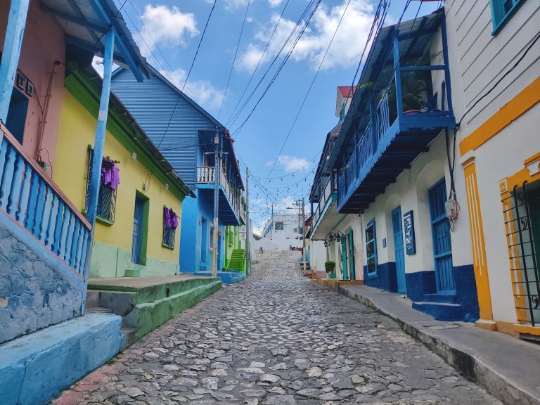
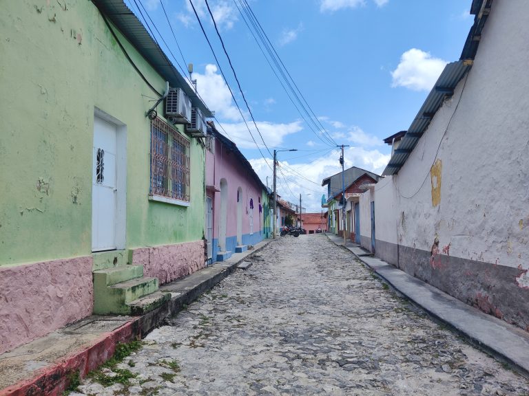
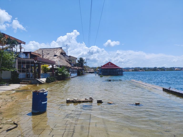
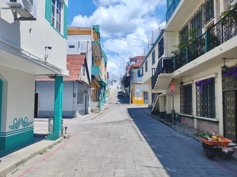
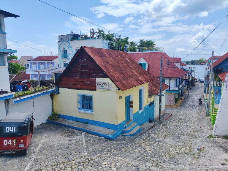
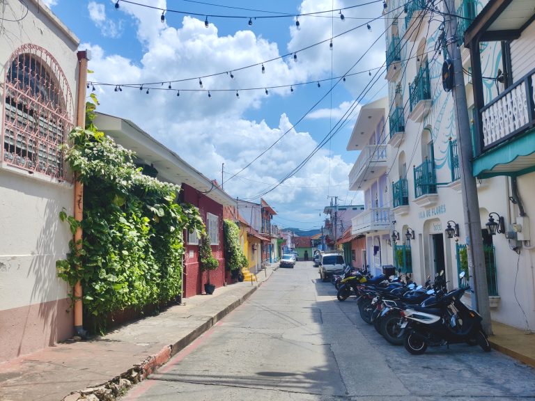
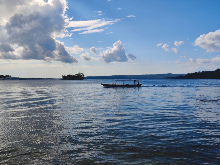
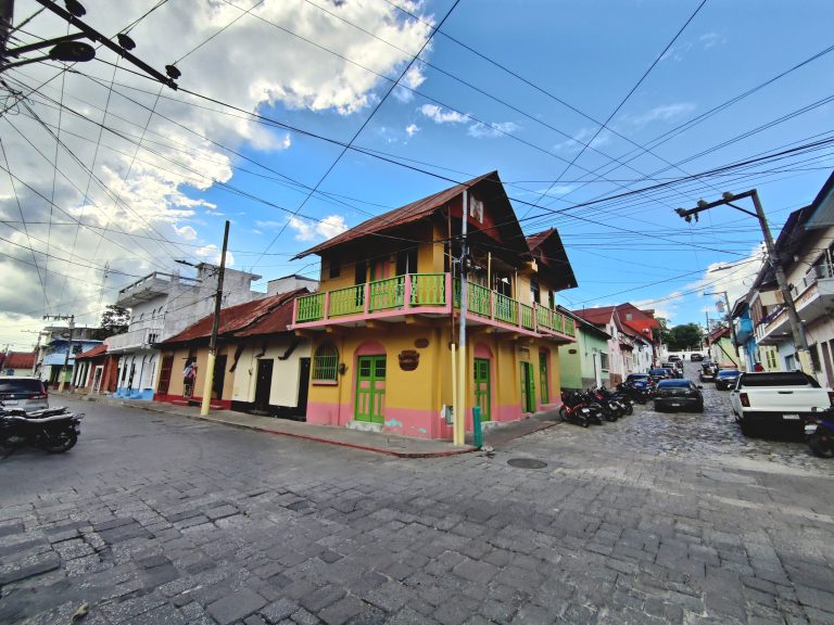
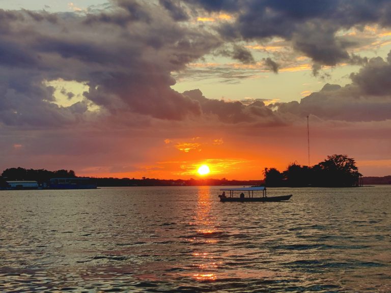
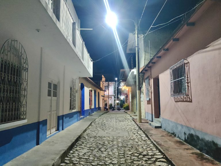
I'm not going to go into the hellish journey to Flores here because it's already referenced in the blog post and I want to forget those 27 hours ever happened. Let's just say that after that nightmare was finally over and I'd gotten myself a little morning nap, this was a lovely tonic to walk out into. After 600km trapped in vehicles, it was such a rush to have the streets of the Americas' second oldest continuously-inhabited settlement all to myself! Flores is a city that expands well beyond this island (Isla de Flores) where I was basing myself, but this is the historic core and the main site of interest for tourists. It's also partially (and permanently?) flooded by Lake Petén Itzá which has reclaimed the main promenade along the shore! Seriously lovely streets. I think the reason why they were so deserted is due to the blazing midday heat. More Flores views. Even the hotels/restaurants/cafés felt surprisingly empty, which is weird because I *know* there were a lot of other tourists around (I saw them all at Tikal!). We love a good boat shot on a lake. One can't over-emphasise how much difference a splash of vibrant colour makes to an otherwise sleepy, sun-baked locale! Speaking of sun, here's the lake again, this time featuring one of the more impressive sunsets I experienced during my time in Central America (lawd knows I'd chased a good few of them). And finally: a glimpse of Flores after dark. I didn't explore much beyond dinner; the 27hr bus nightmare had severely-curtailed my plans and I was forced to be efficient with the time I had remaining. I'd spoken to a few tour operators earlier that afternoon to sort out the next morning's trip to Tikal. A little surprised at how casual (bordering on unprofessional) so many of the more reputed agencies were, but hey, it all worked out okay.

Tikal (2026)

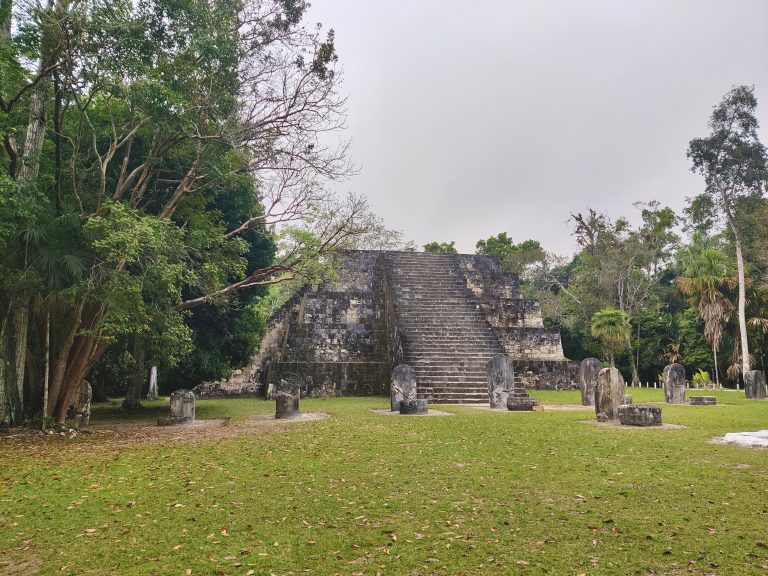
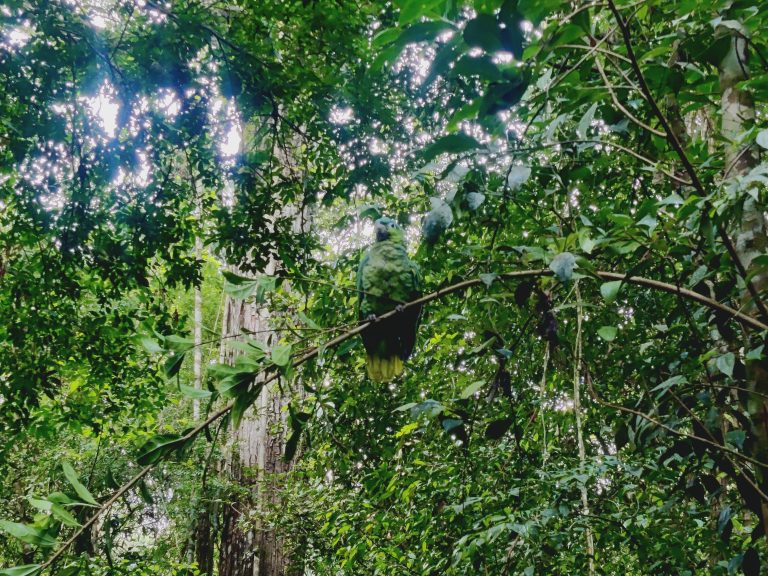
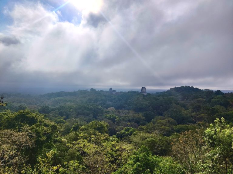
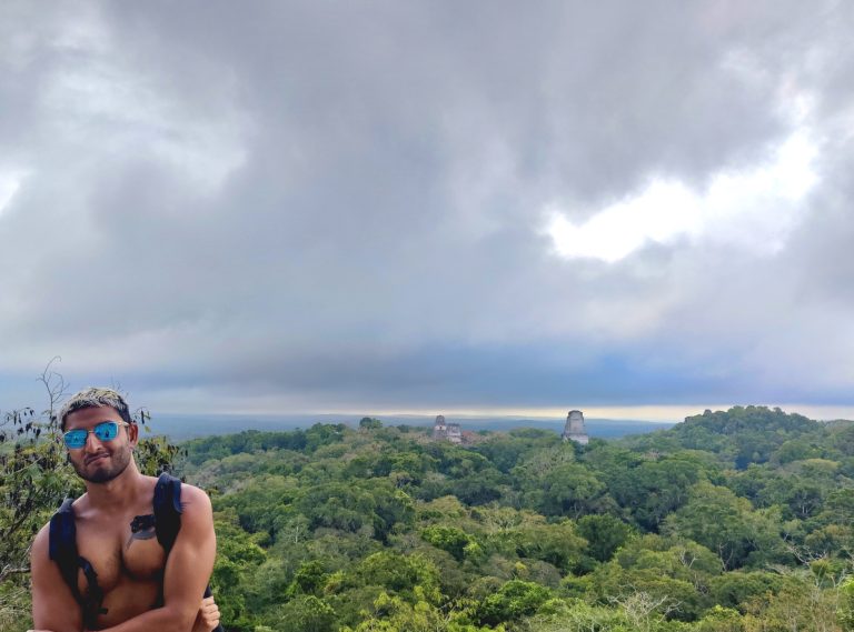
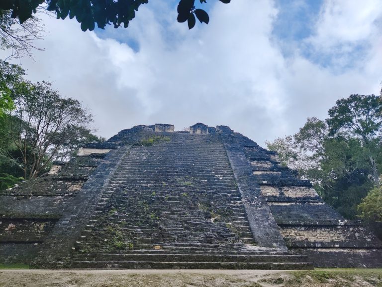
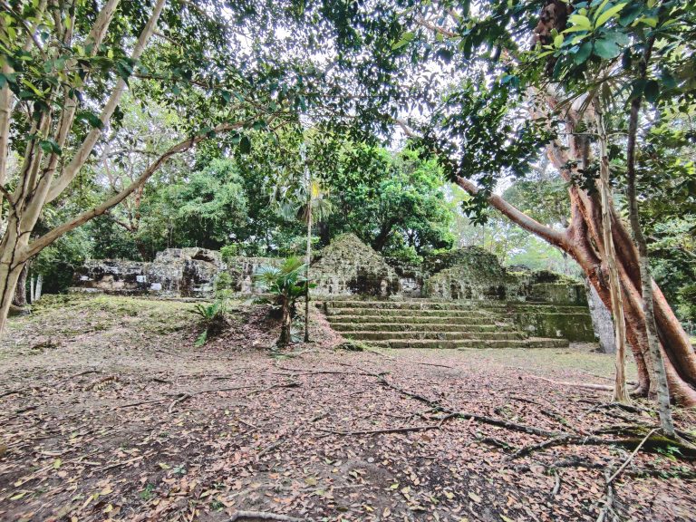
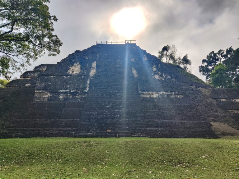
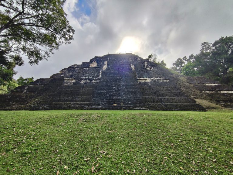
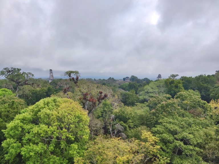
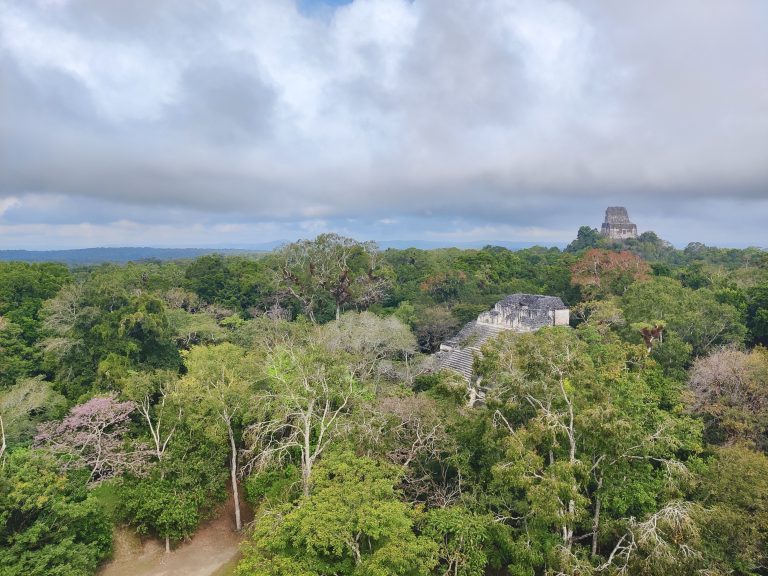
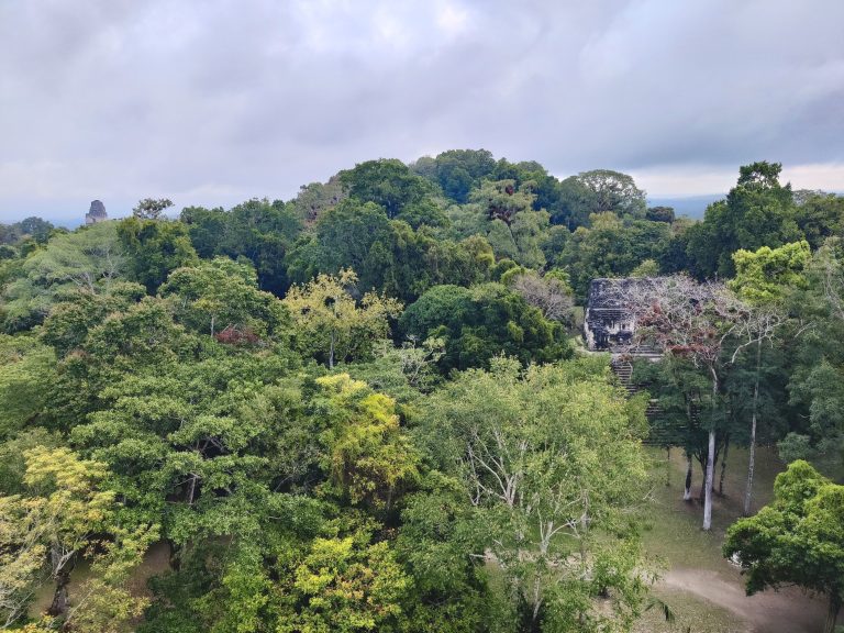
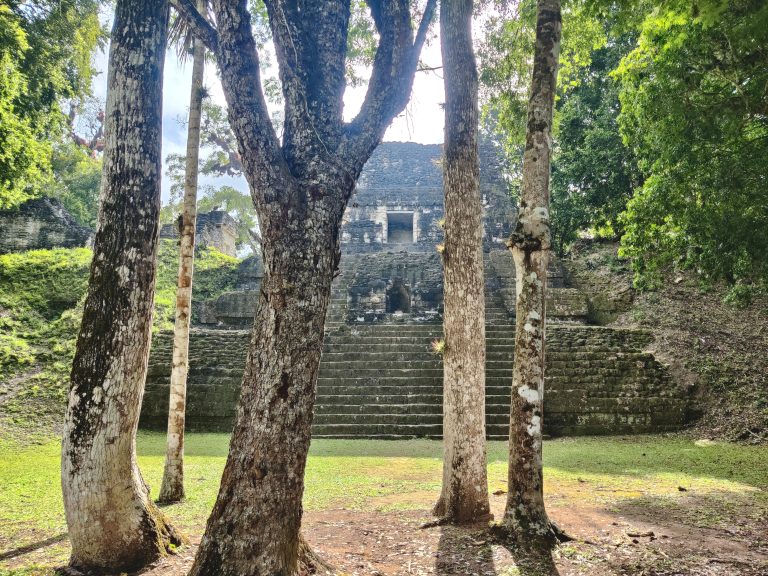
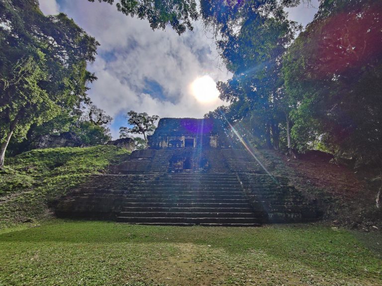
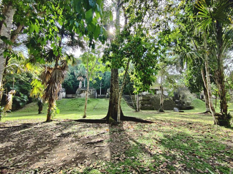
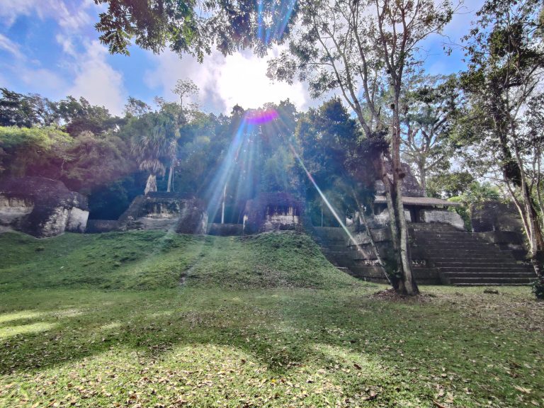
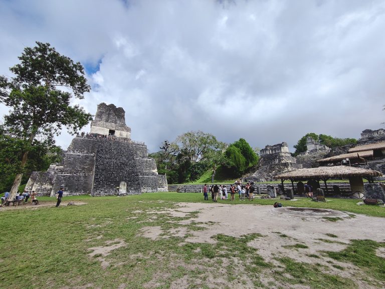
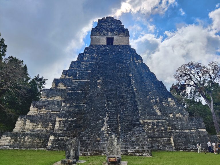
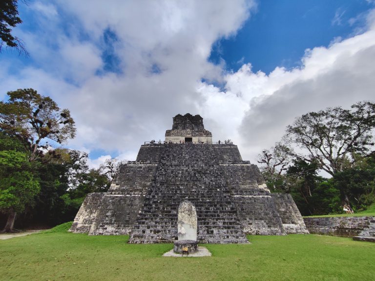
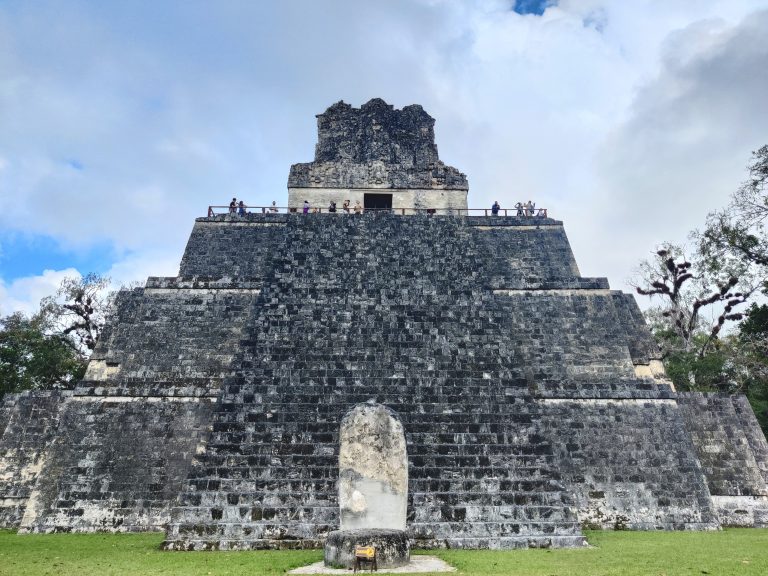
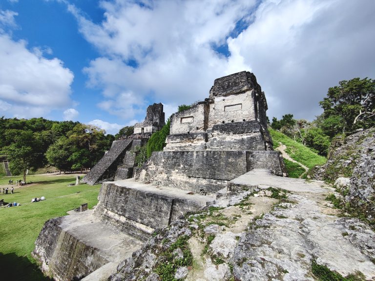
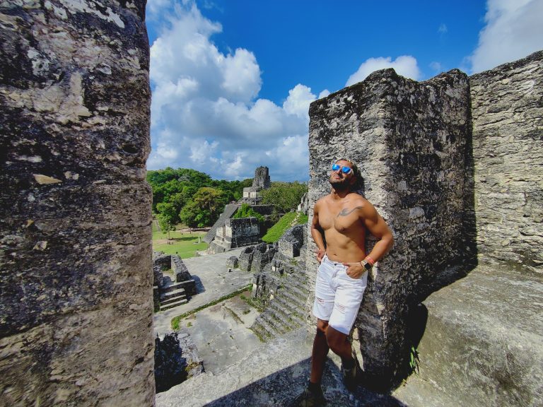
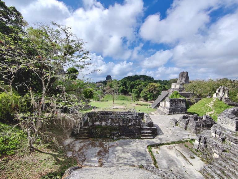
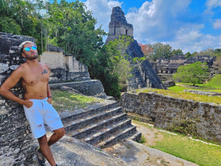
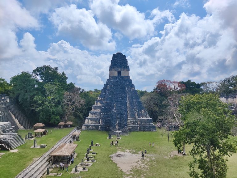
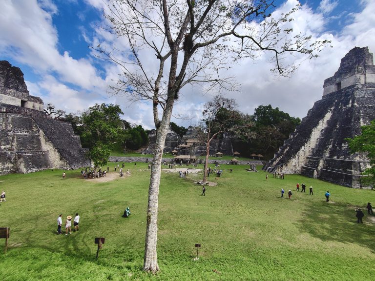
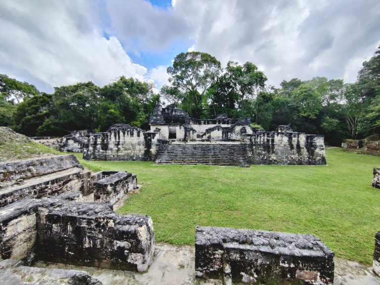
In bed by 11pm, awake at 4am, in through the entrance gates not long after 6am. And here I was: exploring the jungle ruins of Tikal! This parrot made me disproportionately happy. You'll also recall my failed attempts to sight toucans in Costa Rica? Well, within an hour of being here, one of the Brits that I was walking around with managed to spot TWO flying past us in the forest canopy. Wtf. First thing I did once inside was climb atop Temple IV which offers this spectacular vista of the Tikal ruins poking their heads out above the jungle. It was far more breathtaking in person, and I had to spend a good 30 minutes here just savouring the sounds of the forest and the sights before me. Talking of sights... eh... :/ I didn't do the best job of noting down which temples corresponded to which pics (needless to say they were all very impressive), so let's talk a little Tikal history... There are ruins here that date back to the 4thC BCE, but Tikal was at its peak as one of the Mayan civilisation's most powerful city-states between 200-900 CE. It began to go into decline for a number of reasons, and was eventually abandoned at the end of the 10thC, after which it was reclaimed by the surrounding forest. What survives today is magnificent. Various temples, palaces, and administrative buildings, spanning an expansive 60km² (although 'only' 16km² around the core). We explored but a tiny fraction of that. Most of the bus had paid for a guided tour, but myself and a couple of British cheapskates (who were actually a newlywed young couple on their honeymoon, bless them) had opted to do a self-guided tour around the site. I was reliant on ChatGPT and instinct, but it served us pretty well. I *think* these may have been the views from the 'Lost World' (Mundo Perdido) pyramid. But not entirely sure. Either way, the views were bangin'. Tikal is truly a place where one's imagination can run absolutely wild. I think this is one of the 'Siete Templos'? It was definitely the most photogenic of the lot if so! Again, it's mind-boggling to imagine what this place must have looked like during its heyday as a Mesoamerican cosmopolis, and it's also wild to imagine what it must have been like in the centuries afterwards, abandoned in the jungle and known only to animal kingdom. I believe this is in proximity to the Central Acropolis, but I may be talkin' outta my ass. The reason why I said that is because THIS is the Central Acropolis area, with Temple II (Temple of the Masks) visible. And here's Tikal's most iconic monument: Temple I aka the Temple of the Great Jaguar. A closer look at Temple II And closer again! Unlike Temple I, it's possible to actually climb this one as you can see. We went a little off-piste as the neighbouring 'acropolis' complexes were considerably quieter than the hubbub surrounding Temples I and II. Oh dear. A wider shot of the view here. Couldn't resist. I'm sorry. Anyway, we eventually went back down and climbed Temple II, which gives the perfect view of Temple I directly opposite. And here's the only shot I have of Tikal's two most beloved structures in the same frame. The ruins of another palace (?) nearby the Central Acropolis. Amazing how much quieter Tikal gets when you're away from the most popular spots.

Anyway, this was a tremendous morning. I'm not sure if it warranted a 27-hour nightmare bus journey, but I have no regrets at all about laying eyes on so magnificent an archaeological site. It deserves to be seen as one of the greatest historical sites in the world, tbh, and I'm annoyed that I didn't have more time to savour it all. Regardless, it was a nice way to salvage a little bit of enthusiasm for Guatemala after it had all been so ruthlessly butchered by the transport system here. Gracias, Tikal!

Leave a Reply

Your email address will not be published. Required fields are marked *